Advanced Aerial Visualization for the Modern Builder
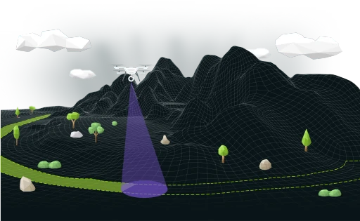
Transform your drone data into powerful insights with AVAG's state-of-the-art cloud platform. Experience effortless geospatial analysis, seamless photogrammetric processing, and enhanced decision-making tools designed for innovators like you.
For professionals from different industries
AVAG was created for more efficient planning and monitoring of transportation construction projects. It provides detailed information that allows you to make the right decisions faster, no matter what role you’re in.
Meet the next-gen of drone data processing application
Catalyze your project's success with crystal-clear aerial imagery that streamlines planning and monitoring. Harness detailed insights to make informed decision.
Meet the next-gen of drone data processing application
Catalyze your project's success with crystal-clear aerial imagery that streamlines planning and monitoring. Harness detailed insights to make informed decision.
Catalyze your project's success with crystal-clear aerial imagery that streamlines planning and monitoring. Harness detailed insights.
Catalyze your project's success with crystal-clear aerial
Project's success with crystal-clear
Imagery that streamlines planning and monitoring
Acces AVAG from everywhere
AVAG runs in browser so you can work with AVAG from everywhere. AVAG runs in browser so you can work with AVAG from everywhere.
Data are stored in the heart of EU
AVAG runs in browser so you can work with AVAG from everywhere.

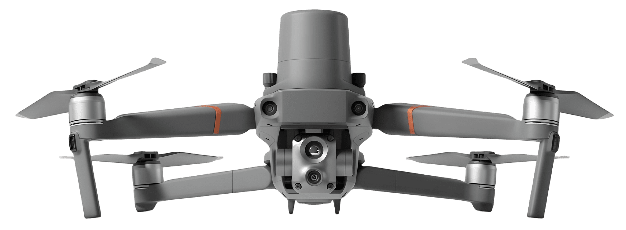
Supports all drones types
AVAG runs in browser so you can work with AVAG from everywhere.

Multi user support
AVAG runs in browser so you can work with AVAG from everywhere.

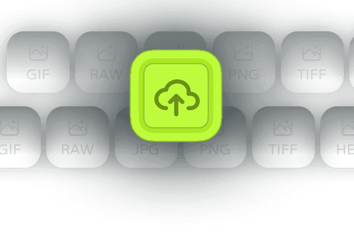
Import all images format
AVAG runs in browser so you can work with AVAG from everywhere.

Our app targets professionals from different industries
Catalyze your project's success with crystal-clear aerial imagery that streamlines planning and monitoring. Harness detailed insights to make informed decision.
Solutions
Significant reasons why you need a AVAG.
Catalyze your project's success with crystal-clear aerial imagery that streamlines planning and monitoring. Harness detailed insights to make informed decisions faster and drive efficiency across the build lifecycle. Catalyze your project's success with crystal-clear aerial imagery that streamlines planning and monitoring. Harness detailed insights to make informed decisions faster and drive efficiency across the build lifecycle.

Read latest news from AVAG and industry


What our clients say?
Catalyze your project's success with crystal-clear aerial imagery that streamlines planning and monitoring. Harness detailed insights to make informed decision.