Blog
AVAG blog
Check out our blog for photogrammetry news, product updates, and real-world wins that show how teams turn geospatial data into impact.

The complete guide to choosing photogrammetry software (2026)
Zaneta Styblova
If you’re currrently choosing your next photogrammetry platform, this guide is for you.
Read more

What is RTK? A guide to real-time kinematic GPS
Marek Ruzek
RTK gets your drone to centimeter accuracy, so when do you still need GCPs? The answer might surprise you.
Read more

Ground Sample Distance: What GSD really means for your site projects
Marek Ruzek
Flying a 50-megapixel drone but still getting blurry maps? Here’s what you’re missing.
Read more

How AVAG brings FARO data to life
Marek Ruzek
Got FARO hardware on site? Here’s how FARO data flows into AVAG.
Read more

Photogrammetry software: Complete guide to AVAG for construction, mining, and infrastructure teams
Miroslav Staubr
Learn how photogrammetry software can turn your data into visualizations and insights.
Read more

FPV drones in 2026: The technology changing aerial filmmaking
Miroslav Staubr
FPV drones are redefining what aerial footage looks like and who can afford it.
Read more

What is geospatial data? Collection, analysis, and how to use it
Zaneta Styblova
Everything you need to know about geospatial data: what it is and how to turn it into decisions your team can act on.
Read more

What are Ground Control Points (GCPs), and why should you use them for drone mapping?
Marek Ruzek
Learn how Ground Control Points (GCPs) turn drone maps from pretty pictures into accurate maps.
Read more
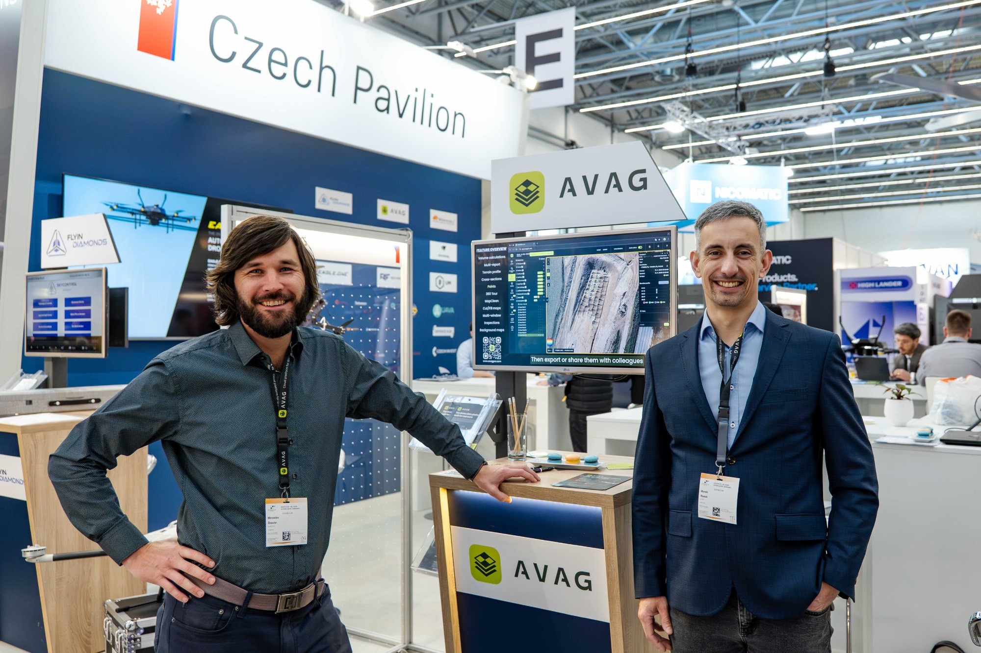
What XPONENTIAL Europe taught us about where drone software is headed
Miroslav Staubr
Learn what happened over two days in Düsseldorf and one unexpected lunch.
Read more

Insights from 3DISE: Why we’re doing things differently
Martin Cepak
What’s changing in drone mapping? At 3DISE, we shared how we approach things differently at AVAG Pro.
Read more

How do you measure earthworks accurately on large projects?
Miroslav Staubr
Get answers to common earthwork measurement FAQs: drone accuracy, linear project challenges, and more.
Read more

Best drone data platforms for 2026
Zaneta Styblova
Which drone data platforms stand out as the most relevant options in 2026?
Read more

Photogrammetry basics: How drones create accurate 3D models
Miroslav Staubr
Drone photogrammetry explained: How overlapping photos create 3D models, what determines accuracy, and why GCPs matter.
Read more