Best drone data platforms for 2026
Updated:
Which drone data platforms stand out as the most relevant options in 2026?

Construction, earthworks, and other teams increasingly rely on drone-derived data not just for visualization, but for measurement, reporting, and decision support across the full project lifecycle.
This article highlights seven drone data platforms that represent some of the most relevant and widely used options available today. Each platform offers a different balance of processing methods, accuracy, usability, and industry focus. The list below outlines these solutions, providing a structured overview to help teams compare capabilities and identify which platform best aligns with their requirements.
The seven drone data platforms covered in this article are:
AVAG
DJI Terra
Skydio 3D Scan
Site Scan by DJI
Propeller
Pix4D
DroneDeploy
1. AVAG
Developed as a sophisticated cloud-based platform, AVAG transforms raw drone footage into accurate visualizations, precise volume calculations, and detailed progress reports that drive informed decision-making.
One the things that set AVAG apart is its flexible processing approach. Users can choose fully automated data processing for rapid turnaround times or leverage AVAG's expert review and verification services for projects requiring additional precision and quality assurance. This dual approach ensures that whether you need speed or enhanced accuracy, AVAG delivers results that match your project requirements.
The platform's signature layered 2D/3D views provide an innovative way to visualize and analyze site data, allowing teams to switch seamlessly between perspectives and overlay multiple data sets for comprehensive analysis. This unique visualization capability makes it easier to identify issues, track changes over time, and communicate findings to stakeholders.
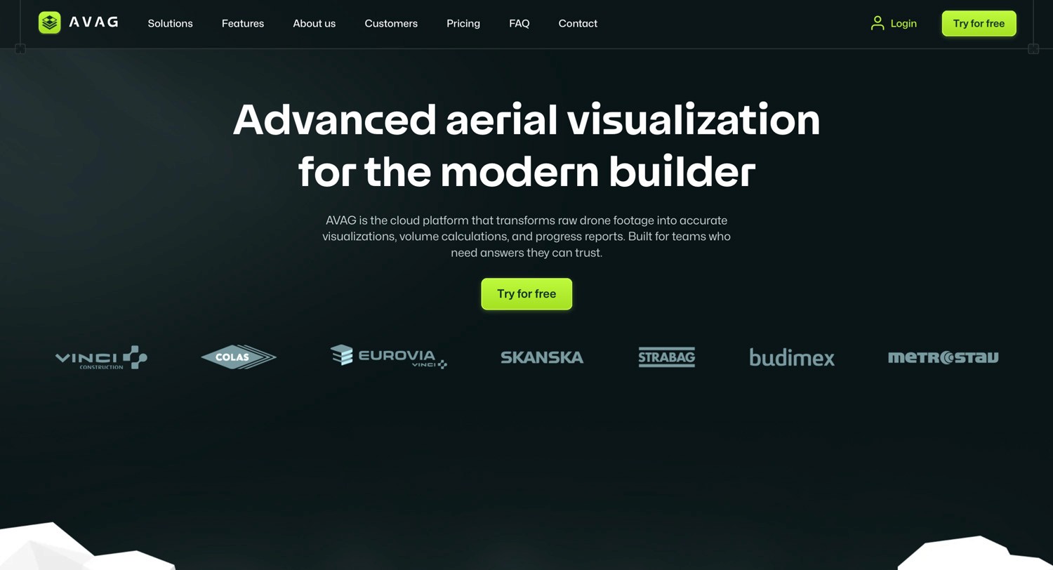
AVAG's cloud infrastructure ensures that teams can plan, monitor, and share insights instantly from anywhere, enabling real-time collaboration across distributed teams. The platform excels in construction, earthworks, and other projects, with intuitive tools specifically designed for volumetric analysis, site progress monitoring, and stockpile management.
Trusted worldwide by industry leaders including STRABAG, Metrostav, and EUROVIA, AVAG has proven its reliability on large-scale, demanding projects. The platform's dedicated support team ensures users maximize their investment, offering guidance on best practices, troubleshooting, and workflow optimization.
With competitive pricing suitable for operations of all sizes and seamless integration capabilities, AVAG represents the complete package for drone data management in 2026.
2. DJI Terra
DJI Terra represents the software extension of DJI’s drone hardware ecosystem. It is primarily a desktop-based solution and offers close integration with DJI aircraft and sensors. This tight coupling results in predictable workflows and stable performance, especially for users operating exclusively within the DJI environment.
The platform supports mission planning, waypoint flights, oblique capture, and real-time 2D reconstruction. Its 3D modeling and point cloud generation tools are commonly used in construction documentation, inspection tasks, and basic surveying.

A key differentiator is DJI Terra’s perpetual licensing option, which appeals to organizations that prefer capital expenditure over recurring subscriptions. However, its collaboration features are limited compared to cloud-native platforms.
3. Skydio 3D Scan
Skydio 3D Scan is built around autonomous flight and obstacle avoidance, reducing reliance on skilled pilots in complex or constrained environments. The platform is primarily used for infrastructure inspection, industrial facilities, and confined spaces where manual flight presents higher risk.
Automated capture routines and repeatable flight paths support consistent data collection over time. Outputs include dense point clouds and detailed 3D meshes suitable for inspection and documentation workflows.
While Skydio 3D Scan excels in autonomy and safety, it is less focused on large-scale earthworks or volumetric analysis, making it more specialized than general-purpose mapping platforms.
4. Site Scan for ArcGIS
Site Scan for ArcGIS is tailored for construction and infrastructure monitoring. It provides workflows designed around progress tracking, site documentation, and comparison between as-built conditions and design intent.
The platform includes volumetric measurement tools, annotation features, and BIM integration, allowing users to align drone data with construction models. Cloud-based sharing supports coordination between contractors, engineers, and project owners.
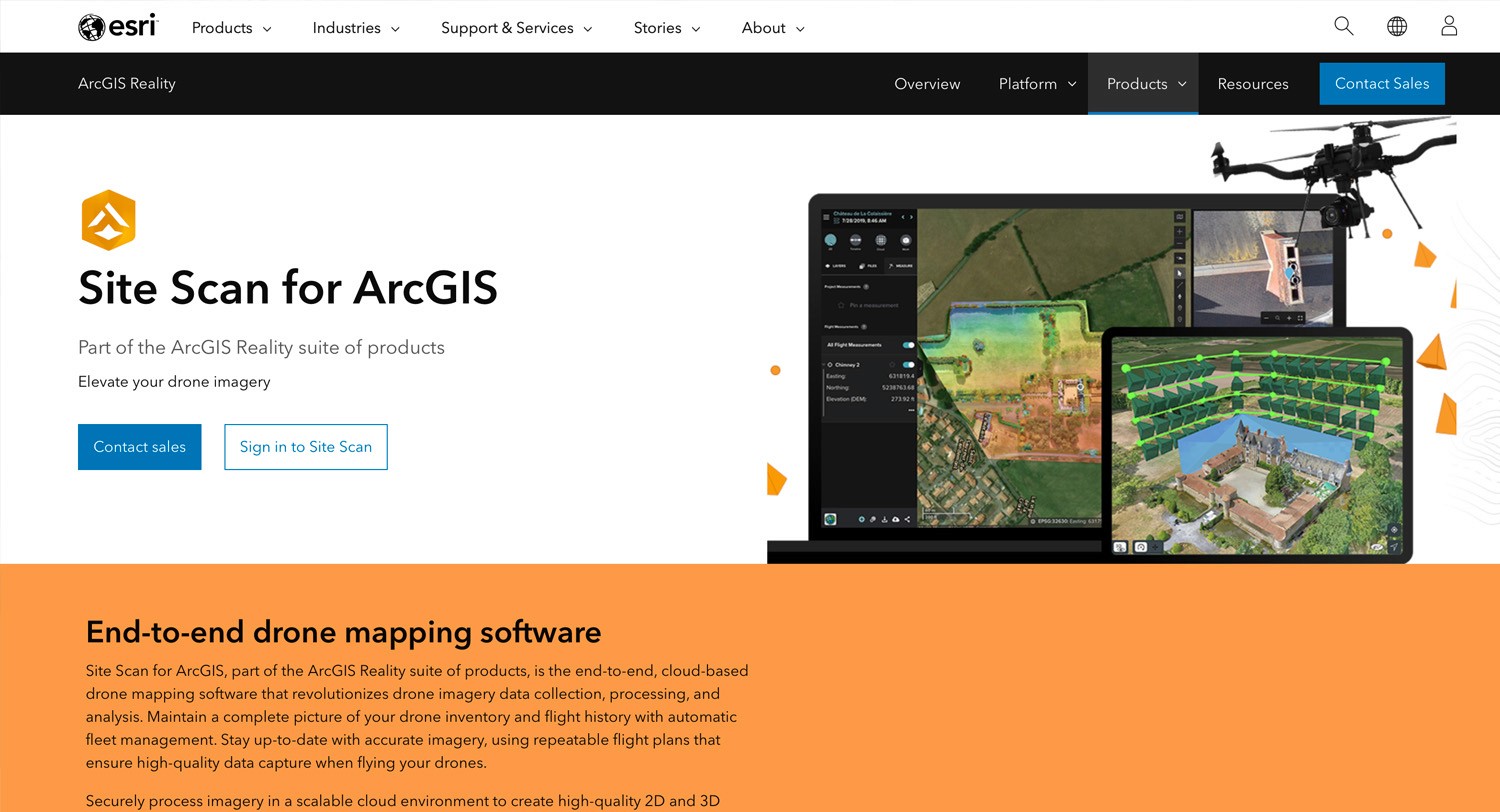
Site Scan is best suited for teams already invested in DJI hardware and construction-focused reporting, rather than broader surveying or multi-industry use.
5. Propeller
Propeller is widely used in earthworks, quarrying, and mining, where volumetric accuracy and repeatability are critical. Its core strengths lie in cut-and-fill analysis, stockpile measurement, and automated site comparisons.
The AeroPoints ground control system simplifies survey setup and improves consistency without requiring advanced surveying expertise. Propeller’s reporting tools are oriented toward operational decision-making rather than visualization-heavy presentations.
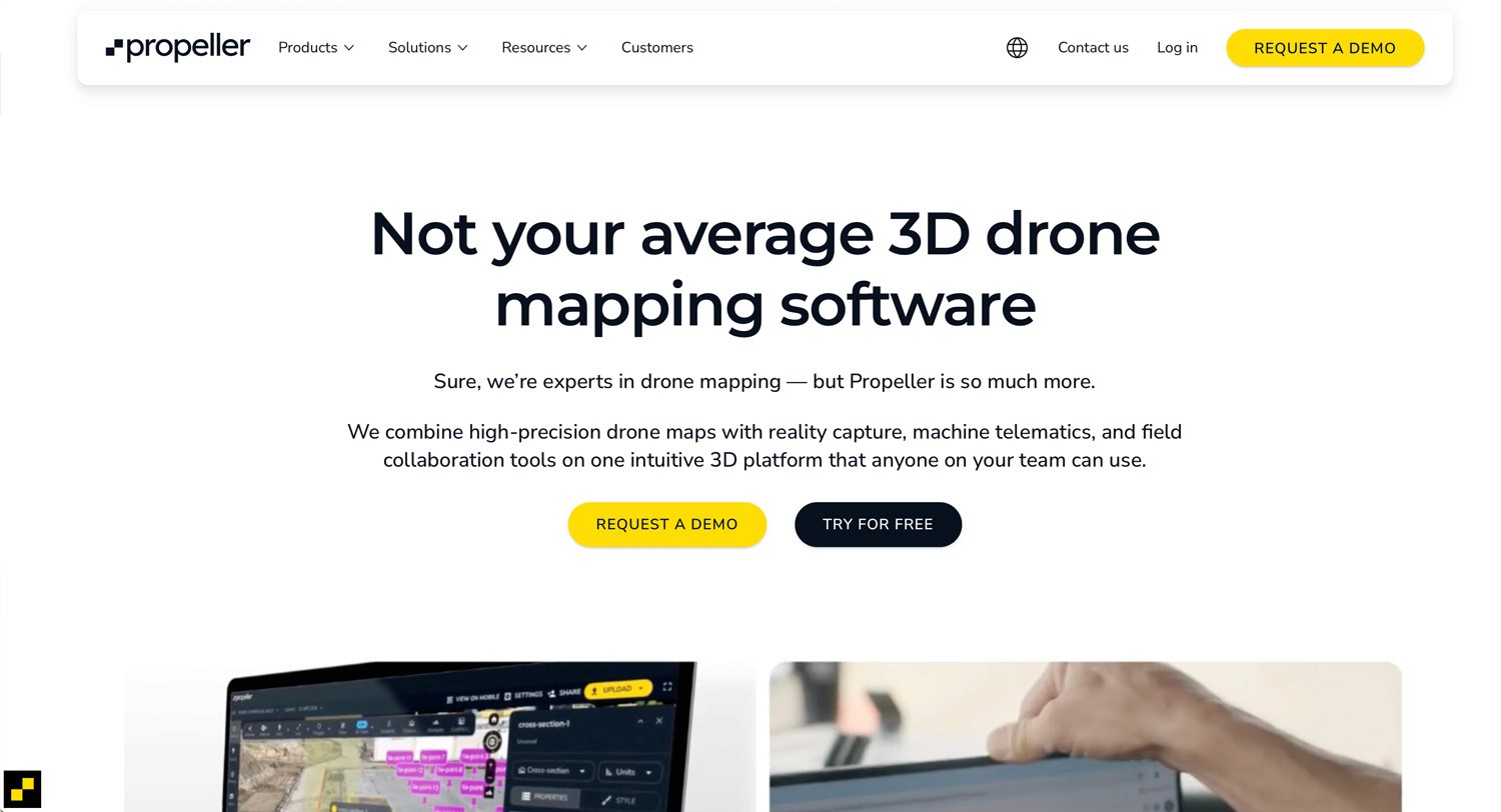
The platform is well aligned with contractors and operators managing frequent site updates, although its feature set is less expansive outside of earthmoving use cases.
6. Pix4D
Pix4D remains a technically capable photogrammetry solution with a strong emphasis on accuracy and processing control. Its product suite covering mapping, agriculture, inspection, and LiDAR allows users to tailor tools to specific applications.
Unlike many cloud platforms, Pix4D supports offline processing, which is valuable in remote locations or environments with strict data governance requirements. The software supports a wide range of drones and sensors and offers extensive export options for GIS and CAD workflows.
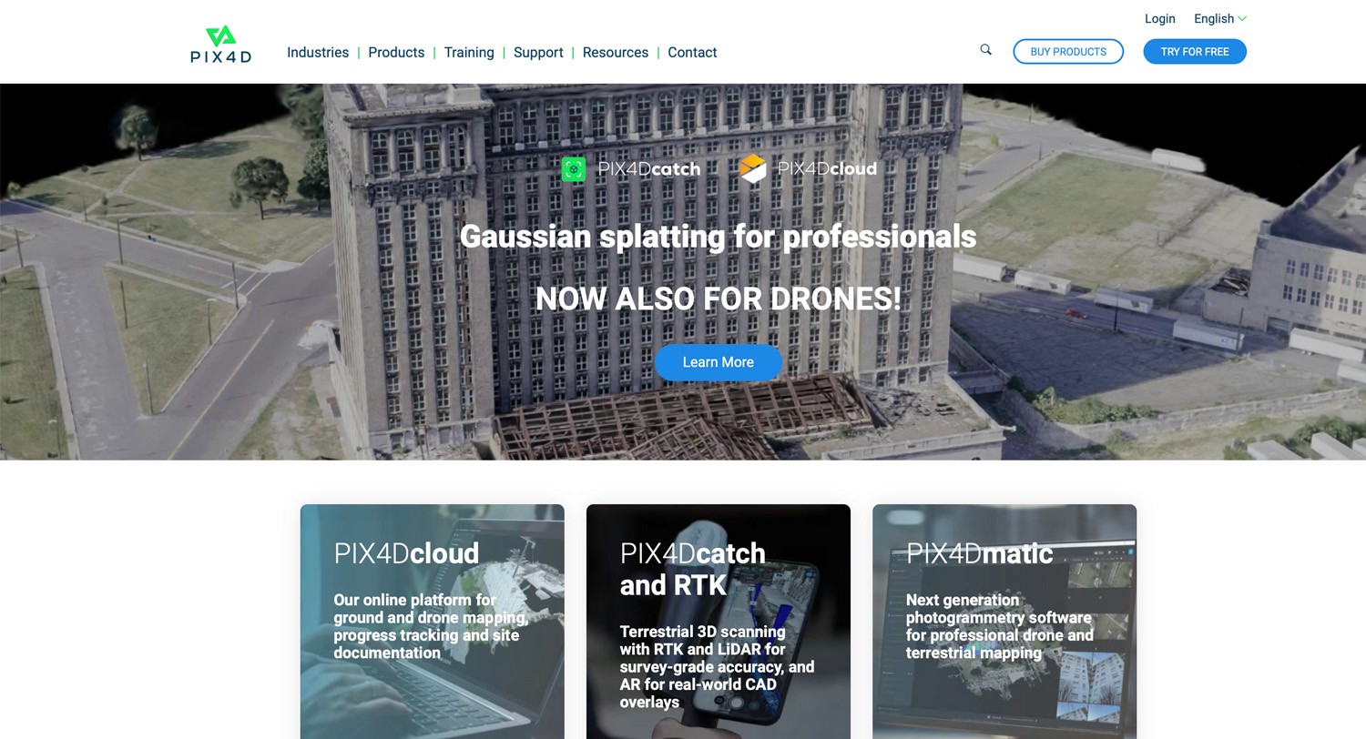
The main trade-off is complexity. Pix4D generally requires more technical expertise and setup time compared to cloud-first platforms.
7. DroneDeploy
The platform is known for its intuitive interface and good mobile experience, allowing teams to capture and process data directly from the field.
Features such as Live Map enable quick orthomosaic previews, while 3D modeling and progress tracking support basic monitoring needs. DroneDeploy’s App Market allows users to extend functionality through third-party integrations.
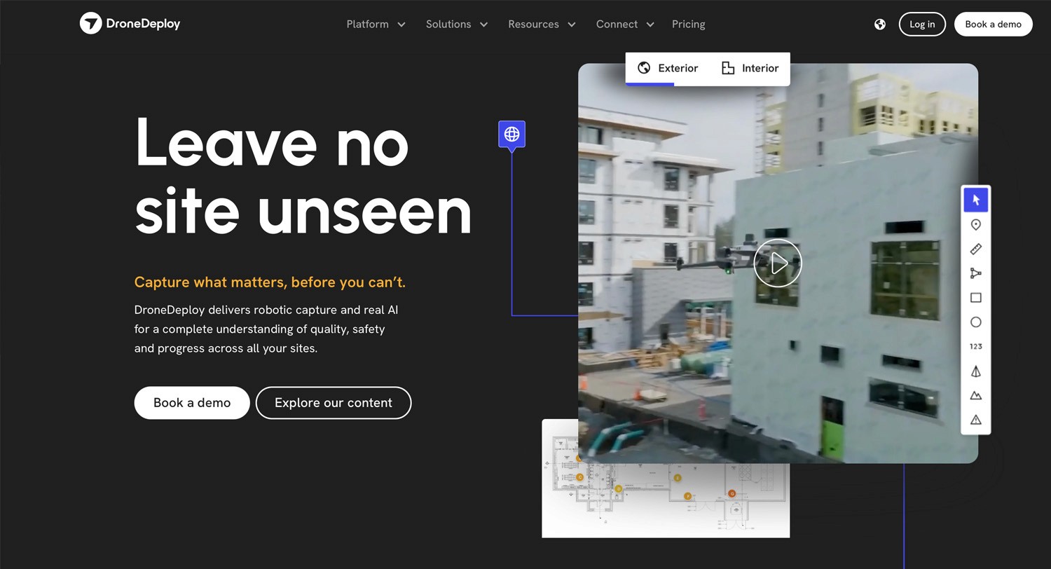
While suitable for straightforward mapping and visual documentation, DroneDeploy is less focused on high-precision volumetrics or advanced verification workflows, which may limit its applicability for complex engineering or surveying projects.
How to choose the right platform
Choosing a drone data platform in 2026 is less about finding a single “best” solution and more about identifying the platform that aligns with your operational realities. Ask yourself:
How accurate does your data need to be, and is verification required?
Not all projects require survey-grade outputs, but when financial, contractual, or compliance decisions depend on the data, accuracy and quality control become critical. Some platforms rely solely on automated processing, while others like AVAG also offer validation, ground control integration, or expert review for higher confidence deliverables.
How large and frequent are your projects?
Project scale and update frequency influence both performance needs and cost efficiency. Large or multi-site projects benefit from cloud-based platforms with strong data management and sharing capabilities, while smaller or occasional projects may not require the same level of infrastructure.
How well does the platform integrate with your existing tools?
Seamless integration with CAD, GIS, or BIM software can significantly reduce manual work and data reprocessing. Compatibility with established design and analysis tools is often a deciding factor for engineering-driven organizations.
What are your budget and licensing preferences?
Licensing models vary widely, from subscriptions to perpetual licenses. Some teams prefer predictable operating costs, while others favor one-time purchases. It’s important to consider not just upfront pricing, but also scalability, support, and long-term value.
By answering these questions, you can narrow the focus on platforms that support your workflows today while remaining adaptable as drone data requirements continue to evolve.
Compare the best drone data platforms
To make comparison easier, the table below summarizes the seven platforms across key criteria that are most relevant when evaluating drone data software in 2026. It highlights how each platform differs in terms of primary use cases, processing approach, deployment model, collaboration capabilities, accuracy expectations, and overall usability.
Platform | Processing approach | Cloud / desktop | Collaboration & sharing | Ease of use | Best fit for |
|---|---|---|---|---|---|
AVAG Pro | Automated + Expert-verified | Cloud | Strong (remote access, sharing) | High | Teams needing reliable outputs fast |
DJI Terra | Local desktop processing | Desktop | Basic (file export) | Moderate | DJI users preferring offline workflows |
Skydio 3D Scan | Autonomous capture + processing | Cloud/Edge | Moderate | High | Inspection teams focused on repeatable flights |
Site Scan (DJI) | Cloud | Cloud | Good (project collaboration) | Moderate | Construction teams with DJI fleets |
Propeller | Cloud | Cloud | Moderate | Moderate | Earthmoving & stockpile operations |
Pix4D | Desktop + Cloud options | Desktop/Cloud | Moderate | Lower (steeper learning curve) | Surveying & technical users needing accuracy |
DroneDeploy | Cloud | Cloud | Strong (mobile + team) | High | Quick field mapping and visualization |
See what your geospatial data can really do
Join more than 1,000 satisfied users. Just upload your files and see results.
No credit card required

About the author

Zaneta Styblova
Content Lead at AVAG Pro
Zaneta Styblova is a content professional with over eight years of experience in content marketing. She crafts impactful content that resonates with global audiences, drawing on a strong background in linguistics and a deep understanding of how language, structure, and tone shape effective communication.
Subscribe and do not miss latest posts
Blog
Explore more articles