How do you measure earthworks accurately on large projects?
Updated:
Get answers to common earthwork measurement FAQs: drone accuracy, linear project challenges, and more.

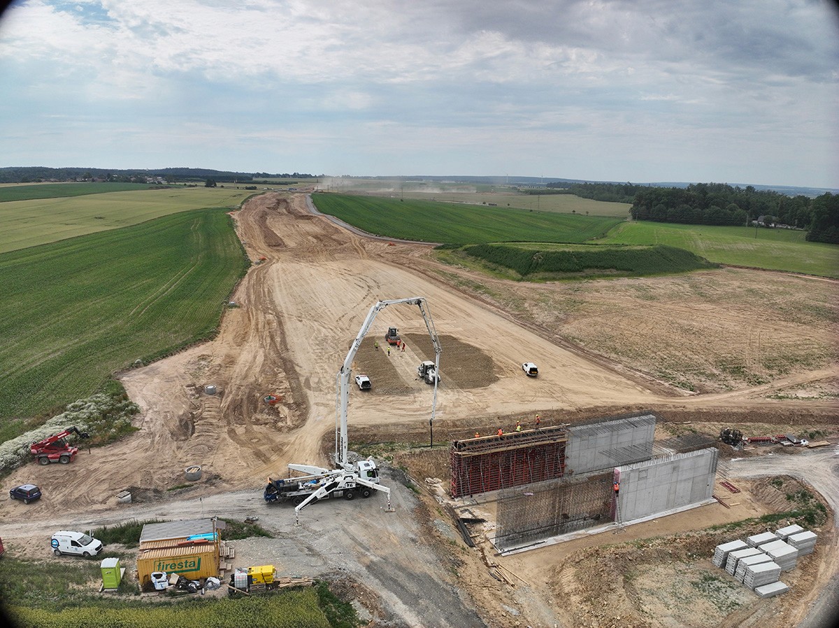
When STRABAG tested multiple platforms for their 10.5 km D35 highway project, five couldn’t handle the data load. The sixth became their corporate standard.
Traditional surveying takes weeks. But highway construction doesn’t wait weeks. And when 80% of your monthly invoicing depends on accurate earthwork measurements, “good enough” isn’t an option.
Why do long linear construction projects break traditional surveying and software?
Highway projects are fundamentally different from buildings or compact sites. Instead of one dense area, teams must manage continuous terrain stretching for kilometers, often with multiple work zones active at the same time.
This creates challenges like:
Massive data volumes from aerial surveys
Inconsistent measurement coverage across long corridors
Difficulty comparing progress month over month
Fragmented workflows between surveyors, BIM teams, and site managers
Many surveying tools and photogrammetry platforms are optimized for small to medium areas. When pushed to highway scale, they struggle with performance, processing limits, and usability.
What are the biggest risks of inaccurate earthworks measurement on highways?
Inaccurate or delayed earthworks data affects money, schedules, and trust.
Common risks include:
Billing disputes caused by unclear or unverifiable volumes
Delayed payments when monthly invoicing can’t be certified on time
Rework driven by mismatches between design plans and real terrain
Loss of confidence from clients and authorities
On projects where margins are tight and timelines strict, even small discrepancies can have outsized consequences.
How are earthworks traditionally measured? And why is it so slow?
Traditional earthworks measurement relies on a combination of:
Manual surveying
Ground-based measurements
Post-processing and reconciliation
Repeated site visits
While accurate, this approach is labor-intensive and slow. On long linear projects, it often takes weeks to complete measurements that are already outdated by the time results are delivered.
Costs scale quickly, and frequent measurements become impractical, especially when monthly billing cycles are involved.
Is drone surveying accurate enough for earthworks measurement?
Yes, but accuracy alone isn’t the deciding factor.
Drones can capture high-resolution data quickly and safely across large areas. But the real challenge is repeatability and consistency. Ask yourself:
Can the same site be measured the same way every month?
Can changes be quantified objectively over time?
Can results be trusted by all stakeholders?
Regulatory authorities often require proof that new measurement methods match traditional accuracy standards. One effective validation approach is to have inspectors use conventional surveying to create control cross-sections every 20 meters, then compare that surface model against the drone-captured dataset.
When this test was run on a major Czech highway project, the results matched to within a few centimeters, but the difference in detail was striking. Traditional surveyors had measurements every 20 meters. The drone data captured every stone.
Without a structured workflow and processing platform designed for highway scale, drone data risks becoming just another visualization tool instead of a reliable measurement method.
What does a modern, scalable earthworks measurement workflow look like?
A scalable approach combines regular drone flights with centralized cloud processing, turning raw imagery into consistent, decision-ready data.
Rather than focusing on individual surveys, this model treats earthworks measurement as an ongoing system:
1. Establish a reliable baseline
The first complete capture of a project corridor establishes a baseline. This snapshot becomes the reference point for all future measurements.
By repeating flights at regular intervals (monthly for D35), teams can:
Track volume changes precisely
Compare progress across time periods
Remove ambiguity from reporting
Every new flight is measured against the same reference, not subjective assumptions.
2. Enable multiple roles to work from shared data
Instead of files moving between departments, a single processed dataset becomes a shared source of truth:
Surveyors review and validate measurements
BIM teams compare design intent with reality
Construction managers define calculation zones for stockpiles and excavations
Engineers certify outputs for reporting and billing
Everyone works from the same current data, which reduces rework and misinterpretation.
On D35, five people with clearly defined roles complete the entire monthly workflow:
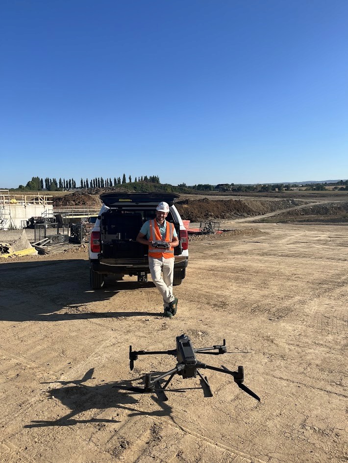
BIM Coordinator flies the drone (1-2 days)
BIM Coordinator uploads to cloud platform
Surveyors review processed data and accuracy (next day)
Construction Manager creates polygons and comparisons in AVAG
Project Engineer certifies the protocol for ŘSD submission
“We don’t have time to play around and wait. With AVAG, we never wait,” says Kutílek.
3. Compare current conditions to design plans in real time
On complex infrastructure projects, teams think in different dimensions:
Designers work in 2D plans
Site teams operate in 3D terrain
Managers need both views at once
Being able to compare design layers directly against current 3D site conditions removes the mental translation that causes mistakes.
STRABAG uses AVAG’s split-screen 2D/3D view, a feature they hadn’t found in any other platform, to instantly verify excavation depth, confirm progress, and see how reality aligns with design intent. No waiting for revised drawings or additional site visits.
“The benefit is the screen split between 2D and 3D views. We haven’t seen this kind of split in any other tool before,” notes Hladina.
Can this workflow support real monthly billing?
Visual models are useful, but billing requires defensible, auditable measurements that stand up to scrutiny from clients and authorities.
On the D35 Litomysl–Janov highway, STRABAG needed to invoice earthworks every month across a 10.5 km active construction site, with no tolerance for delays.
Drone data wasn’t adopted because it looked impressive. It was adopted because it could produce repeatable, certifiable results under real billing pressure.
How was this approach tested on a real 10.5 km highway project?
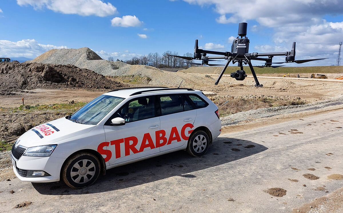
STRABAG had already been using drones for years. On the D35 project, each monthly flight captured 3,500–5,000 images, producing massive datasets that previous tools couldn’t handle reliably. AVAG allows the team to work with all the data at once (point clouds, DSMs, orthophotos, and slope models) while maintaining smooth performance for viewing, analysis, and layering multiple datasets simultaneously.
By shifting processing to a centralized cloud workflow and standardizing measurements around a consistent baseline, STRABAG turned drone data into a dependable part of their billing process.
How long does it take to go from drone flight to invoice-ready results?
On the D35 project, the workflow looks like this:
Data capture (1–2 days): STRABAG pilots using in-house drones
Processing (~9 hours): AVAG experts handle data processing
Review and certification (within 24 hours): STRABAG surveyors validate and certify measurements
This workflow enables drone-derived data to support about 80% of monthly earthworks invoicing, with the remaining portion reconciled at project completion.
Compared to traditional surveying, which can take weeks, the difference is decisive.
How can current site conditions be compared to design plans?
On complex infrastructure projects, teams think in different dimensions:
Designers work in 2D plans
Site teams operate in 3D terrain
Managers need both views at once
Being able to compare design layers directly against current 3D site conditions removes the mental translation that causes mistakes.
Teams can instantly verify excavation depth, confirm progress, and see how reality aligns with intent — without waiting for revised drawings or additional site visits.
When does drone-based earthworks measurement become the better choice?
Drone-based workflows typically become the better option when projects involve:
Long linear corridors
Frequent (monthly) billing cycles
Large earthworks volumes
Multiple teams needing access to the same data
At that point, consistency and speed outweigh the familiarity of traditional methods.
What should infrastructure teams learn from measuring 10.5 km of highway?
The key lesson is simple: scale exposes weaknesses.
At small sizes, many tools work well enough. At highway scale, only workflows designed for volume, repeatability, and collaboration survive.
By combining drones, cloud processing, and a shared data model, STRABAG transformed earthworks measurement from a bottleneck into a dependable operational system — supported by AVAG and validated under real project pressure.
Final question to ask yourself
Could your current measurement workflow handle 10 kilometers every month without delays?
If not, the issue may not be accuracy.
It may be scalability.
What to read next
Photogrammetry software: Complete guide to AVAG for construction, mining, and infrastructure teams
FPV drones in 2026: The technology changing aerial filmmaking
What are Ground Control Points (GCPs), and why should you use them for drone mapping?
What is geospatial data? Collection, analysis, and how to use it
See what your geospatial data can really do
Join more than 1,000 satisfied users. Just upload your files and see results.
No credit card required

About the author

Miroslav Staubr
CEO at AVAG Pro
Miroslav Staubr is the CEO and co-owner of AirView s.r.o. and the product lead behind AVAG, a cloud platform used across construction and surveying for processing drone, LiDAR, and 3D geospatial data. As a certified drone pilot with the highest permit for aerial mapping, he brings hands-on experience working with UAVs (Unmanned Aerial Vehicles), commonly known as drones, to capture precise data for photogrammetry, terrain analysis, and earthwork volume calculations.
Subscribe and do not miss latest posts
Blog
Explore more articles