Ground Sample Distance: What GSD really means for your site projects
Updated:
Flying a 50-megapixel drone but still getting blurry maps? Here’s what you’re missing.

If you have spent any time planning a drone survey, you have probably come across the term ground sample distance or GSD. It sounds like a technical detail buried deep in your camera spec sheet, but, in practice, it is the single number that decides whether your aerial data is useful or useless. Get it right, and your orthomosaic maps, volume calculations, and progress reports are accurate. Get it wrong, and even the most expensive drone on the market will let you down.
In this guide, I want to cut through the jargon and explain ground sample distance in plain terms: what it means, how to calculate it, what affects it, and what GSD targets you should be aiming for depending on your project type.
What is ground sample distance?
Ground sample distance is the real-world size of a single pixel in your aerial image, measured on the ground. If your GSD is 3 cm/pixel, it means that each pixel in your drone photo represents a 3 cm × 3 cm square of actual terrain. A GSD of 1 cm/pixel means each pixel represents a 1 cm × 1 cm square, which is much finer detail.
The lower the GSD value, the higher the resolution of your imagery.
This matters enormously in practice. When AVAG processes your drone data and generates an orthomosaic or a point cloud, every measurement, every cross-section, every volume calculation, every distance check is ultimately derived from those pixels. If each pixel represents 5 cm of ground rather than 1 cm, the precision of every downstream measurement is limited accordingly.
Quick definition: Ground sample distance (GSD) = the distance between the center points of two adjacent pixels, as measured on the ground. Expressed in cm/pixel or mm/pixel.
Why ground sample distance matters more than megapixels
A common misconception among drone operators new to photogrammetry is that a higher-megapixel camera automatically means better mapping results. This is not quite right.
A 50-megapixel sensor flying at 200 m altitude can produce a worse GSD than a 20-megapixel sensor flying at 80 m. GSD is determined by the combination of your camera specifications and your flight parameters, not by sensor resolution alone.
This is why understanding ground sample distance is so fundamental. It gives you a single, meaningful number that describes the real-world accuracy of your aerial data, which is something megapixel counts simply cannot do.
The GSD formula
Ground sample distance is calculated using four variables:
H — flight altitude above ground (in metres)
Sw — sensor width (in mm)
Fr — image width in pixels
Fl — focal length (in mm)
The standard GSD formula is:
GSD (cm/pixel) = (H × Sw) / (Fr × Fl) × 100
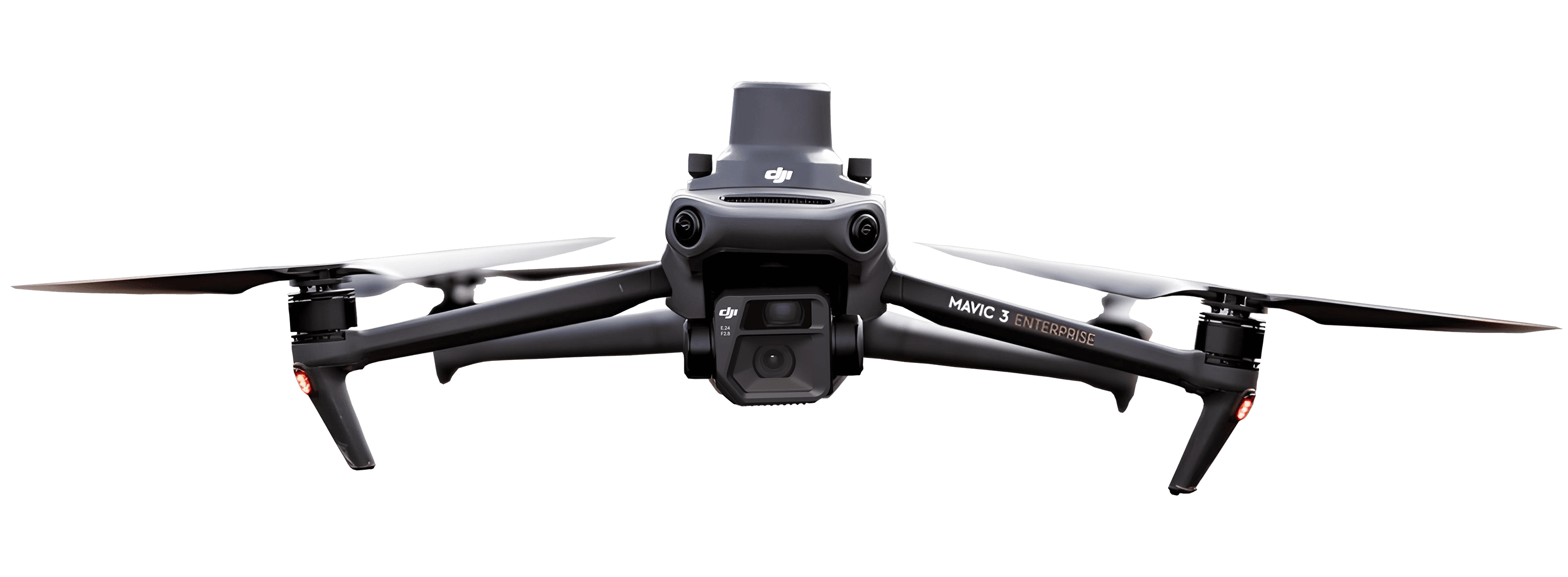
Let’s work through a practical example. Suppose you are flying a DJI Mavic 3 Enterprise at 100 m above ground level:
Sensor width: 17.3 mm
Focal length: 12.29 mm
Image width: 5280 pixels
GSD = (100 × 17.3) / (5280 × 12.29) × 100 ≈ 2.67 cm/pixel
That gives you roughly 2.7 cm GSD, adequate for construction progress monitoring, but not sufficient for precision boundary surveys requiring sub-centimetre accuracy.
What factors affect your GSD?
Understanding which variables influence ground sample distance helps you make smarter decisions before you ever launch a drone.
1. Flight altitude
This is the most direct lever you have. GSD scales linearly with altitude: fly twice as high, and your GSD doubles (meaning half the resolution). Fly at 50 m instead of 100 m, and you cut your GSD in half.
The trade-off is coverage. Lower altitude means more flight time and more images to cover the same area.
2. Camera focal length
A longer focal length acts like a zoom lens: it captures a narrower field of view but at higher apparent resolution, reducing GSD. Cameras with short focal lengths capture wider scenes but at a coarser GSD for the same altitude.
3. Sensor size
A larger sensor captures more light and more scene detail per unit area. For the same focal length and altitude, a physically larger sensor tends to produce better GSD performance, all else equal.
4. Image resolution
Higher-resolution sensors (more pixels across the image width) naturally produce a lower GSD at the same altitude, so each pixel simply covers less ground. However, as noted above, this effect is easily offset by flying too high.
Recommended GSD targets by use case
One of the most practical questions we hear from AVAG users is: "What GSD do I actually need for my project?" Here is a practical reference based on common construction and surveying applications.
Use case | Recommended GSD |
Legal boundary survey | 0.5 – 1.0 cm/pixel |
Topographic survey / earthworks | 1.0 – 2.5 cm/pixel |
Construction progress monitoring | 2.0 – 5.0 cm/pixel |
Stockpile volume measurement | 1.5 – 3.0 cm/pixel |
Site overview / stakeholder reporting | 3.0 – 10.0 cm/pixel |
Infrastructure inspection (close-range) | 0.3 – 1.0 cm/pixel |
For most construction projects managed through AVAG, a GSD in the range of 2–3 cm/pixel provides an excellent balance between image resolution, flight efficiency, and processing time. If you are generating volume calculations or need to compare earthworks against a design surface, pushing toward 1.5 cm/pixel adds meaningful accuracy.
GSD and photogrammetry accuracy: What is the relationship?
A question that often comes up is whether GSD and absolute accuracy are the same thing. They are not, but they are closely linked.
Ground sample distance describes the resolution of your imagery. Absolute accuracy describes how closely your processed map matches real-world coordinates and depends on GSD and other factors, including:
The number and quality of Ground Control Points (GCPs)
Whether you are using RTK or PPK positioning on the drone
Overlap between images (typically 80% front, 70% side for photogrammetry)
The quality of your photogrammetry processing
A general rule of thumb: your absolute accuracy will be approximately 1–3× your GSD. If you fly at 2 cm GSD with good GCPs and proper overlap, you can expect horizontal accuracy of roughly 2–4 cm. Without GCPs, the figure will be larger regardless of how low you fly.
In AVAG, when you upload processed data and run volume calculations or cross-section profiles, the results inherit the accuracy of the source data. This is why it is worth investing the time to plan your GSD correctly, the quality of everything downstream depends on it.
Practical tips for optimizing GSD in the field
Here are the approaches our most experienced users apply to consistently achieve the GSD their projects require.
Plan your altitude before you launch. Use the GSD formula to confirm your expected GSD before takeoff. Do not guess.
Account for terrain variation. GSD is calculated relative to the distance between the camera and the ground. On sloped terrain, the actual altitude varies across the site. Where high accuracy matters on hilly ground, use terrain-following flight modes to maintain consistent GSD across the entire area.
Increase overlap for complex surfaces. On surfaces with significant relief, deep shadows, or repetitive textures, increasing front overlap to 85% and side overlap to 75% compensates for the challenges photogrammetry software faces in matching features between images.
Do not fly too low for large areas. There is a temptation to always fly as low as possible for maximum GSD, but this comes at a cost in flight time and data volume. For a 10-hectare site, the difference between 80 m and 120 m altitude might mean the difference between one battery and three batteries, and between 200 and 600 images to process. Match your GSD to your accuracy requirements — no lower.
Check your results in AVAG before finalizing the report. The measurement and annotation tools in AVAG let you verify that the detail you need is visible in the orthomosaic before delivering to the client. If key features are blurred or indistinct, it is usually a sign that GSD was too coarse for the task.
Ground sample distance in satellite vs. drone imagery
It is worth noting that GSD is not a drone-only concept. Satellite imagery also has GSD values. Commercial optical satellites typically deliver imagery at 30 cm to 50 cm GSD. Some high-resolution commercial platforms can reach 30 cm or finer.
By comparison, drones operating at typical survey altitudes of 50–150 m routinely achieve GSD values of 1–4 cm. This is why drone mapping has transformed industries like construction, mining, and precision agriculture: for site-scale work, drones deliver 10–50× the resolution of the best available satellite imagery, at a fraction of the cost of manned aircraft surveys.
How AVAG helps you work with GSD-dependent data
Because AVAG is built specifically for construction and surveying workflows, it is designed to work with the accuracy levels that professional GSD targets deliver. Volume calculations, terrain cross-sections, distance measurements, and progress comparisons all work correctly when the underlying data meets appropriate GSD requirements.
For teams managing multiple sites or needing to share data with clients and subcontractors who are not GIS specialists, AVAG makes it straightforward to present high-resolution drone data without requiring technical expertise on the receiving end. The resolution is there in the imagery, AVAG makes it accessible.
Summary: Key points on ground sample distance
Ground sample distance (GSD) is the real-world size of one pixel in your drone image, measured on the ground in cm/pixel.
Lower GSD values mean higher resolution and more detail captured.
GSD is controlled primarily by flight altitude and camera specifications, flying lower produces better GSD.
For most construction and surveying applications, a GSD of 1–3 cm/pixel delivers the right balance of detail and efficiency.
GSD determines the resolution of your data; absolute accuracy also depends on GCPs, positioning method, and image overlap.
Always match your target GSD to your actual project requirements. Flying lower than necessary wastes time and storage without improving decision-making.
If you have questions about GSD, data processing, or getting the most from your data inside AVAG, feel free to connect with me on LinkedIn. Haven’t started your AVAG trial yet? Just click here and sign up today.
See what your geospatial data can really do
Join more than 1,000 satisfied users. Just upload your files and see results.
No credit card required
About the author
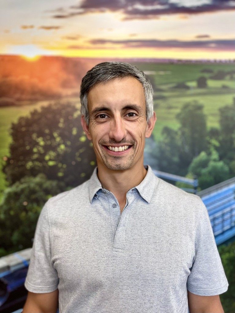
Marek Ruzek
CTO at AVAG Pro
Marek Ruzek is the CEO and co-owner of AirView s.r.o. and the CTO behind AVAG, a cloud platform built for construction and surveying professionals working with drone data, photogrammetry, and 3D geospatial workflows. With nearly a decade leading AirView, he has been at the forefront of bringing drone-data technology to major infrastructure projects across the Czech Republic, including the D3 highway, the PPP D4 project, and large-scale earthworks monitoring.
Subscribe and do not miss latest posts
Blog
Explore more articles