Insights from 3DISE: Why we’re doing things differently
Updated:
What’s changing in drone mapping? At 3DISE, we shared how we approach things differently at AVAG Pro.

We had an amazing time at 3DISE, the premier gathering for photogrammetry, laser scanning, and surveying professionals. It’s always energizing to connect with people who live and breathe this technology, and this year we had some great conversations about where the industry’s heading and how we’re approaching things at AVAG Pro.
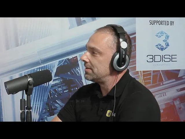
One of the highlights for me was being a guest on the 3DISE podcast, where we got to dive deeper into some of these topics.
What really caught people’s attention
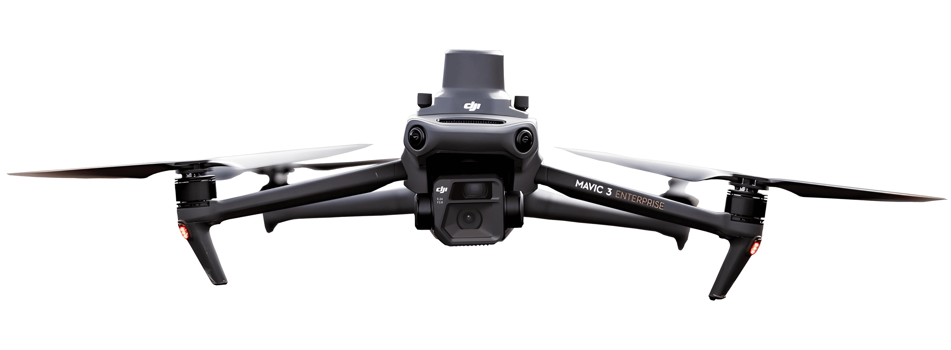
Our core offering is pretty straightforward: you fly your drone, upload your photos to our cloud platform, and we handle the photogrammetric processing. You get orthophotos, 3D models, all the data you need without investing in expensive processing hardware or complicated software.
But what really got people talking at the conference were two things we’re doing differently.
First, we ditched the per-user licensing model. Completely. Buy one license from us and you can add unlimited users. We kept hearing the same frustration from drone service providers and construction companies: they wanted to share data with clients, subcontractors, project managers, but they were always counting seats, managing licenses, dealing with restrictions. So we just... got rid of all that. One license, unlimited users. It’s simpler for everyone.
Second, we don’t lock you into our ecosystem. Got a favorite processing software? Use it. You can upload already processed data from other tools and work with it right alongside stuff we process. We support DXF, GeoJSON, TXT files, even free WMS services like cadastral maps. The platform is genuinely open because, honestly, we think that’s how it should be.
Who we’re working with
At the conference, we talked with a lot of folks who fit into two main camps, and their needs are pretty different.
Drone service providers are using AVAG to process data for construction sites, quarries, all kinds of projects. The flexibility is key here: you can process the data yourself if you want that control or just upload the photos and let us handle it so you can focus on flying. We’re hearing that pilots really appreciate not having to babysit render queues.
Construction companies of all sizes are using us to track progress, measure volumes, and manage their sites day-to-day. Some get data from service providers, others fly their own drones with in-house pilots. Either way, they’re working with orthophotos, 3D models, and progress reports pretty much daily. We’re seeing this shift from monthly check-ins to daily monitoring, which is changing how these projects get managed.
Beyond just photos
While photogrammetry is our bread and butter, we’re expanding. You can already upload processed LiDAR data and work with point clouds alongside your photogrammetry.
One feature that got a lot of interest at 3DISE was our 360-degree panoramic tour functionality. We built this because construction companies working on highways and railways kept telling us they needed to combine aerial drone data with ground-level 360 imagery and GPS tracks. So now you can get the bird’s eye view and the ground perspective all in one place.
Time travel for your construction site
This is where things get really useful. We let you layer data from different dates and compare them side by side. Fly your site weekly, monthly, daily, whatever makes sense for your project, then pull up any two time periods to see exactly what changed.
Volume calculations are huge here. Construction companies are tracking excavation with 1-2% precision, which completely beats the 10-20% deviation you get from traditional manual methods. We also have this multi-window view where you can look at four different datasets at once: different dates, elevation models versus 3D meshes, 360 photos next to aerial shots. People have told us it’s like having a time machine for their construction site, which is pretty much the vibe we were going for.
The Ground Control Point (GCP) reality
We had a lot of conversations at the conference about accuracy and alignment, so let’s be straight about this: ground control points are key. RTK or PPK positioning works fine if you’re just eyeballing things, but if you want numbers you can put in a report and stand behind, you need properly surveyed GCPs.
Our recommendation is to use fixed GCPs that don’t move for the entire project. Set them up at the beginning, use the same points every flight, and you can hit one centimeter per pixel precision. This especially matters for volume calculations: using fixed GCPs versus re-measuring targets each time can literally be the difference between 1-2% accuracy and 10-20% error.
Measuring GCPs is usually the most time-consuming part of drone surveying. But fixed points eliminate that repetitive work while actually making things more accurate. When you’re using the same coordinates every flight, alignment gets down to millimeter precision.
Collaboration that actually works
Our project structure came up in a lot of conversations at 3DISE. You can share projects, add notes to specific map points, invite colleagues. But here’s the clever bit: your original data stays yours. When someone edits a shared project, they’re creating their own version, not messing with your original.
If you’ve ever had someone accidentally delete or rename a shared file, you know why this matters. Everyone can collaborate, nobody loses their work. You can also attach documentation, agreements, drawings, whatever you need, all with controlled access.
For government and enterprise clients, data sovereignty is critical. We store everything on servers in the Czech Republic, so EU compliance sorted. Need something even more locked down? We offer on-premise deployment that never touches the cloud. We had several conversations at the conference about this, especially with government contractors.
Built by pilots, still pilots at heart
What people might not know about us is that we started as drone pilots ourselves. We weren’t software developers who thought drones were cool. We were out in the field dealing with the same frustrations our customers deal with now. That’s why our roadmap comes from actual user needs, not just chasing whatever tech trend is hot.
That 360 panoramic tour feature was based on direct feedback from railway and highway construction companies who needed to combine aerial and ground views. And the upcoming LiDAR processing? We kept hearing about this gap in multi-sensor workflows.
What’s coming next
We’re seeing drones get cheaper and more accessible, and construction companies are realizing the value of regular aerial monitoring. We think we’re hitting a sweet spot by removing barriers with unlimited licensing, no hardware costs, actual expert help, which makes sophisticated drone analysis accessible for major contractors as well as solo operators.
We want to stay current with 3D reconstruction tech while keeping our eye on what matters: making drone data actually useful for construction and infrastructure work.
If you’re wrestling with earthwork estimates, looking for flexible processing, or just trying to keep tabs on project progress, we’d love to talk. 3DISE reminded us why we love this industry: people solving real problems with cool technology. That’s exactly what we’re doing at AVAG Pro.
See what your geospatial data can really do
Join more than 1,000 satisfied users. Just upload your files and see results.
No credit card required

About the author

Martin Cepak
Support Specialist at AVAG Pro
Martin Cepak works as a Support Specialist at AVAG Pro, bringing more than 15 years of experience in international sales, strategic sourcing, and project-based purchasing. He studied Landscape Engineering and Geodesy, a background that strengthened his analytical thinking and technical understanding.
Subscribe and do not miss latest posts
Blog
Explore more articles

The complete guide to choosing photogrammetry software (2026)
If you’re currrently choosing your next photogrammetry platform, this guide is for you.
Read more

Ground Sample Distance: What GSD really means for your site projects
Flying a 50-megapixel drone but still getting blurry maps? Here’s what you’re missing.
Read more