What XPONENTIAL Europe taught us about where drone software is headed
Updated:
Learn what happened over two days in Düsseldorf and one unexpected lunch.
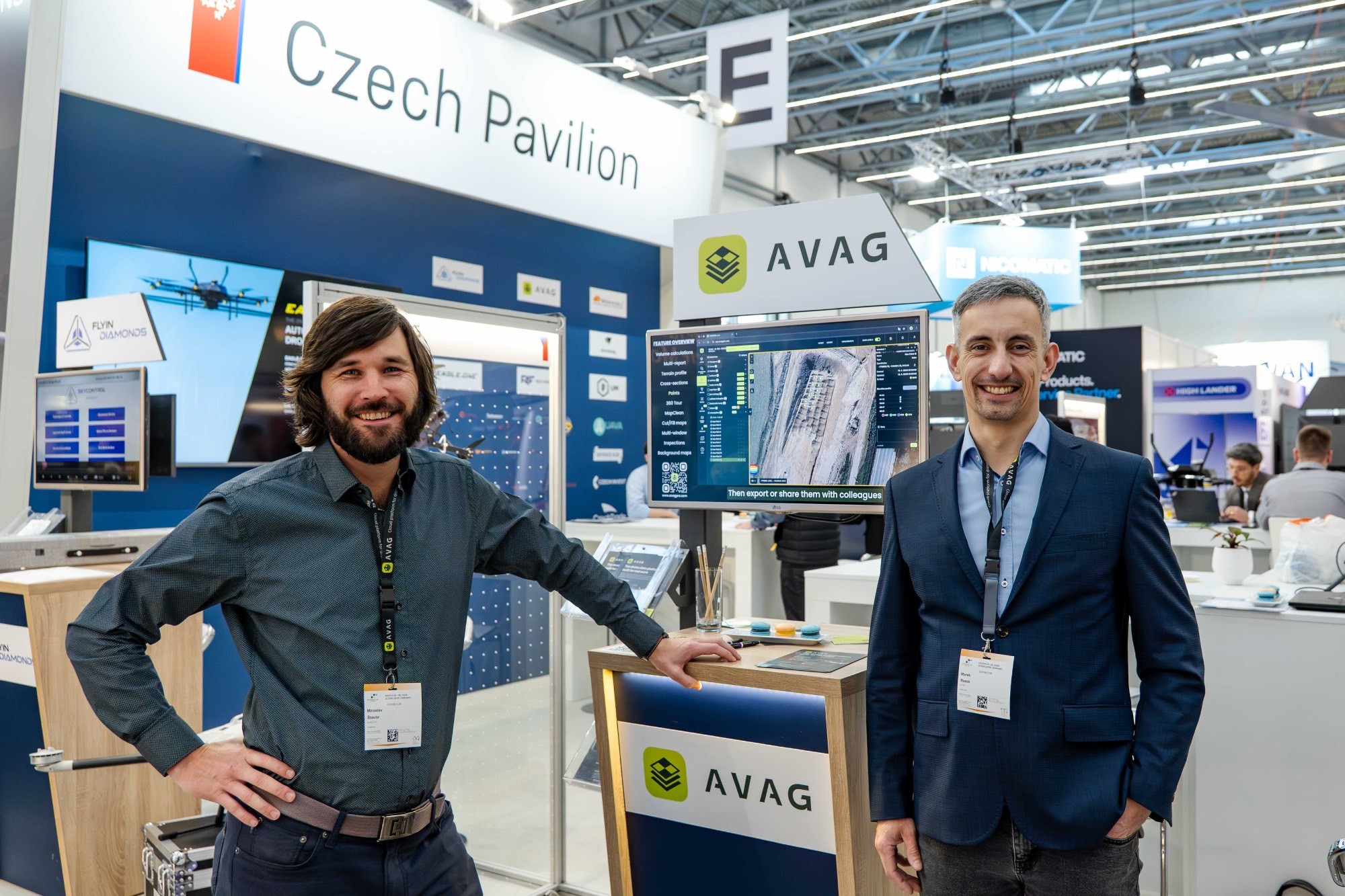
XPONENTIAL Europe is, by any measure, an impressive event. Thousands of people, hundreds of booths, and an enormous amount of energy around autonomous systems. It’s the kind of event where you can spend an entire day walking the floor and still feel like you've only scratched the surface.
This year the tone was unmistakably shaped by the current global climate. Defense applications dominated the conversation: ISR platforms, counter-drone systems, autonomous mission vehicles. Hardware providers across the board have pivoted in that direction, and it’s not hard to understand why. The demand is there, the funding is there, and the urgency is real.
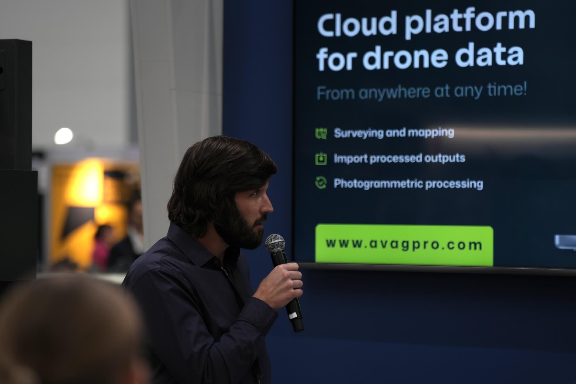
But walking through the exhibition hall, something struck me almost immediately: among all that technology, almost no one was showing software solutions for processing drone data. Photogrammetry, point cloud processing, or volumetric analysis that turn raw drone captures into actionable information were conspicuously absent.
That genuinely surprised me. We were based in the Czech Pavilion, and throughout the event, people kept stopping by specifically looking for exactly what we do. The gap is real, and if anything, it’s widening as hardware investment surges and the software side struggles to keep pace.

The best meeting of the event happened over lunch
Trade shows are full of planned meetings, carefully scheduled, pre-briefed, and often disappointingly predictable. Sometimes the unplanned ones are the most valuable.
I sat down at a lunch table and asked a stranger if I could join him. His response? “Of course! I know you from LinkedIn. You’re Mira!” It turned out he was from GeoCue. What started as a polite request to share a table turned into one of the most energizing conversations of the entire trip.
We talked through their handheld LiDAR scanners, their workflows, their customers’ pain points. By the time we finished eating, we’d agreed to integrate their scanner outputs into AVAG. A partnership born over a shared table and a bit of mutual curiosity. Not bad for a lunch break.
It was also genuinely energizing to be surrounded by so many talented colleagues from other Czech companies. There’s something special about representing your country’s tech scene on an international stage: a shared pride that makes the conversations richer and the connections feel more meaningful.
What XPONENTIAL confirmed about our direction
XPONENTIAL is a valuable pulse-check, but it also reinforced something we’ve been thinking about for a while: the real momentum for drone data solutions is in the industries that are quietly and steadily adopting this technology at scale.
Construction, earthworks, mining. These are the sectors where photogrammetry and point cloud processing have moved from “interesting experiment” to genuine operational tool. Site managers are using drone data to track earthwork volumes week by week. Mining operations are replacing traditional surveying with aerial capture. Construction teams are catching discrepancies between design and reality before they become expensive problems.
That’s where you’ll find us next—attending events focused on construction, earthworks, and mining. The conversations will be more targeted, the audiences more defined, and the potential might be much greater.
See what your geospatial data can really do
Join more than 1,000 satisfied users. Just upload your files and see results.
No credit card required

About the author
Miroslav Staubr
CEO at AVAG Pro
Miroslav Staubr is the CEO and co-owner of AirView s.r.o. and the product lead behind AVAG, a cloud platform used across construction and surveying for processing drone, LiDAR, and 3D geospatial data. As a certified drone pilot with the highest permit for aerial mapping, he brings hands-on experience working with UAVs (Unmanned Aerial Vehicles), commonly known as drones, to capture precise data for photogrammetry, terrain analysis, and earthwork volume calculations.
Subscribe and do not miss latest posts
Blog
Explore more articles