Author
Miroslav Staubr

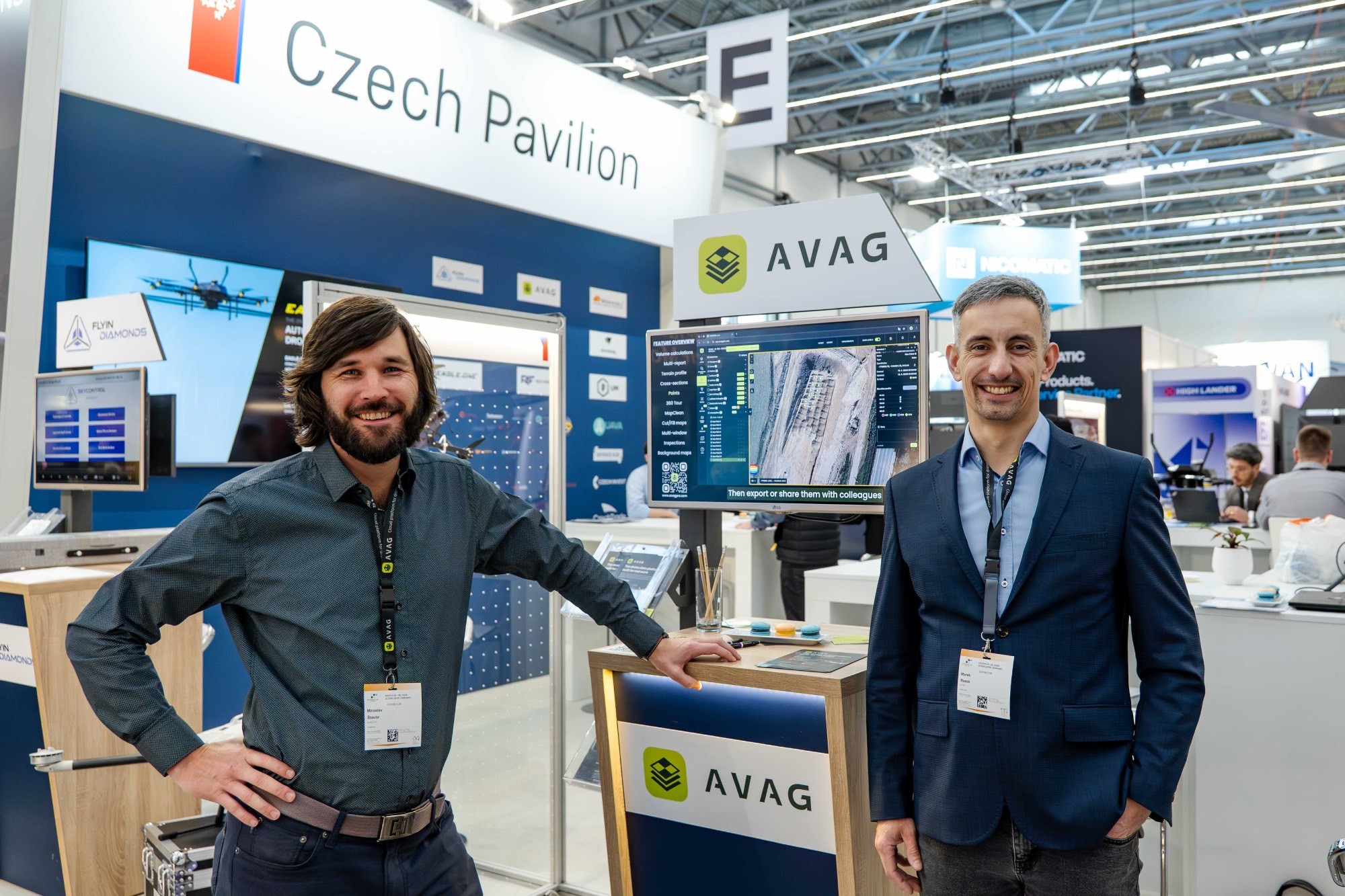
Miroslav Staubr is the CEO and co-owner of AirView s.r.o. and the product lead behind AVAG, a cloud platform used across construction and surveying for processing drone, LiDAR, and 3D geospatial data. As a certified drone pilot with the highest permit for aerial mapping, he brings hands-on experience working with UAVs (Unmanned Aerial Vehicles), commonly known as drones, to capture precise data for photogrammetry, terrain analysis, and earthwork volume calculations.
Drawing on years of field operations and software development, Miroslav focuses on practical, real-world workflows that help professionals achieve accurate, verifiable geospatial results. His work bridges UAV data collection with advanced cloud processing, making complex 3D models, earthwork evaluations, and terrain comparisons accessible to teams across the construction and surveying industries.
Through his writing, Miroslav shares insights into drone-data best practices, geospatial accuracy standards, digital construction workflows, and emerging industry trends. He highlights new technologies, evolving UAV capabilities, and innovations shaping photogrammetry and infrastructure monitoring, offering readers clear, actionable guidance rooted in real experience.
More posts from the author

Photogrammetry software: Complete guide to AVAG for construction, mining, and infrastructure teams
Miroslav Staubr
Learn how photogrammetry software can turn your data into visualizations and insights.
Read more

FPV drones in 2026: The technology changing aerial filmmaking
Miroslav Staubr
FPV drones are redefining what aerial footage looks like and who can afford it.
Read more
What XPONENTIAL Europe taught us about where drone software is headed
Miroslav Staubr
Learn what happened over two days in Düsseldorf and one unexpected lunch.
Read more

How do you measure earthworks accurately on large projects?
Miroslav Staubr
Get answers to common earthwork measurement FAQs: drone accuracy, linear project challenges, and more.
Read more

Photogrammetry basics: How drones create accurate 3D models
Miroslav Staubr
Drone photogrammetry explained: How overlapping photos create 3D models, what determines accuracy, and why GCPs matter.
Read more


