The case for attending 3DISE again
Updated:
Is a conference booth worth the cost, or just a good excuse for a company trip?
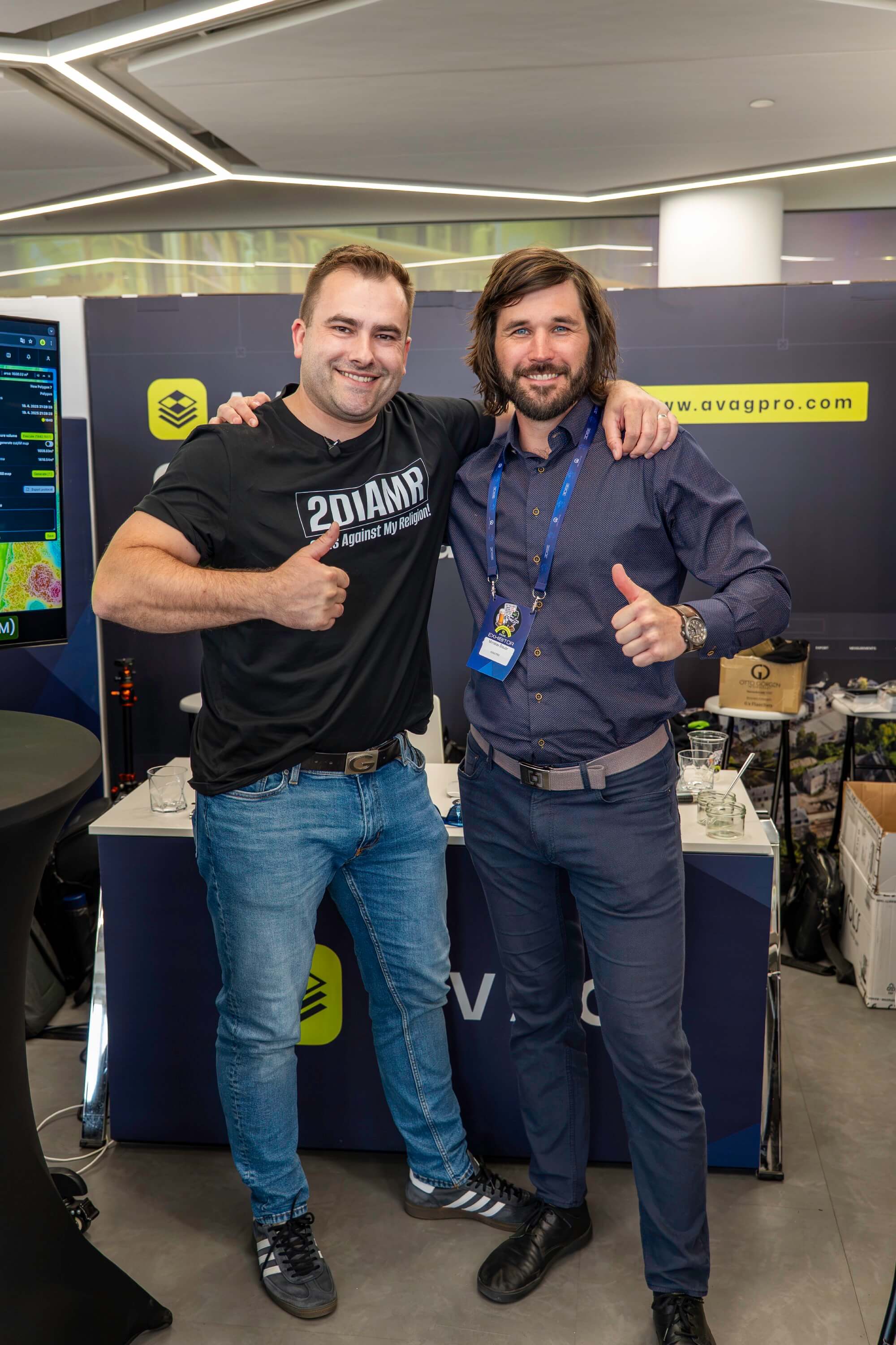
We had a booth at 3DISE in Prague this year, and it did what a good industry conference is supposed to do: it put the right people in the same room and let real work happen between them. Attendees came in with specific problems to solve. Exhibitors came in ready to solve them. And for at least one team on the floor, four or five days was all it took to go from “we heard about a conference” to “we found our technology partner.”

What a conference booth is actually for
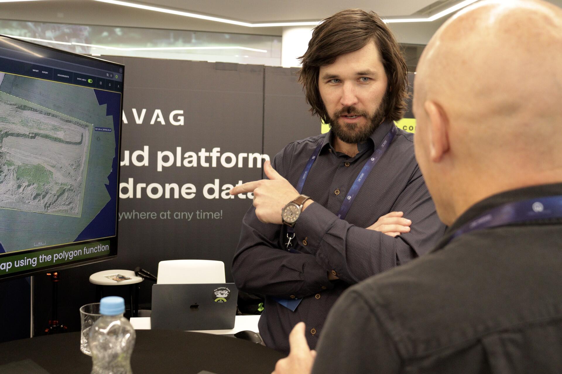
A booth is the fastest way for someone evaluating a product to stress-test it in person, without a sales cycle in the way. That’s what our booth was built for this year: live walkthroughs of AVAG processing real drone, LiDAR, and 360° data.
We showed attendees how photogrammetry and LiDAR data lands in one platform instead of being scattered across specialist tools, how a finished model can be shared with a client directly in the browser instead of exported and emailed around, and how tasks that used to take weeks now take anyone on a team a few clicks. Teams in more than 80 countries already use their geospatial data this way, including STRABAG, Vinci Construction, and Colas. At 3DISE, we got to show newer companies exactly what that looks like before they’d committed at all.
That’s the value 3DISE creates that a website or a demo call can’t: someone can walk up, ask a hard question, walk away to think about it, and come back an hour later with the next one. Multiply that across a few hundred attendees and a few dozen exhibitors, and you get a floor full of decisions actually getting made, not just pitched.
Proof it works: a company that tested us against their own criteria
One of the clearest examples was La Vila 3D, a brand-new Catalan company that flew in on four or five days’ notice specifically to find a technology partner. They already knew what they needed: a customer-facing portal, not just a rendering engine. They spent the conference testing that requirement against what was actually on the floor, and kept coming back to work through it with us in person rather than over email.
They left with:
A cloud workflow that cut their capture and processing time dramatically versus their previous method
EU-based processing that replaced a plan to offshore their data entirely
A live model their own clients can inspect before anything gets downloaded
That’s the AVAG platform doing exactly what it’s built to do: turn raw capture data into something the whole team and their clients can use the same day.
Why exhibitors should treat 3DISE as a pipeline, not a booth fee
Conference value gets framed one-directional too often: attendees get access to vendors. What we got out of it was a prospect who’d already done the thinking about what they needed, testing our platform against their own criteria in real time, over multiple conversations, at our booth. That’s a sharper filter than most sales pipelines produce in a month, and it’s the reason we treat 3DISE as part of how we find the right partners, not just as a marketing expense.
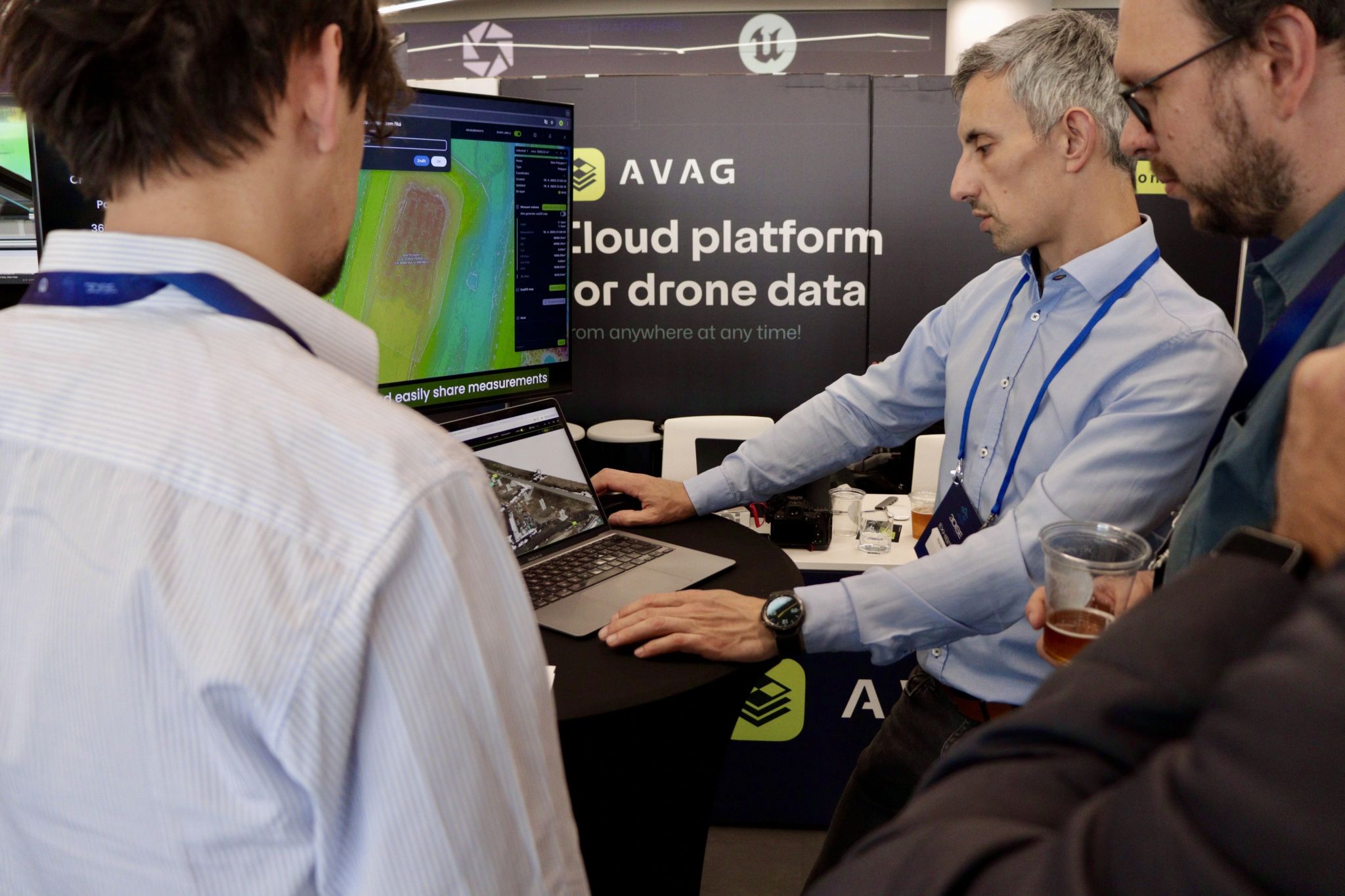
If you’re building or selling reality capture technology, that’s the case for showing up: not booth traffic, but the specific teams who keep coming back because you’re the one who can actually answer their question, and show them the platform working, not just describe it.
The case for next year
3DISE puts serious buyers in front of serious technology in the same room and lets the evaluation happen in person instead of over a sales funnel. That’s true whether you’re walking the floor looking for your next tool or standing at a booth ready to show what your product can do.
If you’re still deciding whether 3DISE is worth it, you already know our answer.
See what your geospatial data can really do
Join more than 1,000 satisfied users. Just upload your files and see results.
No credit card required

About the author
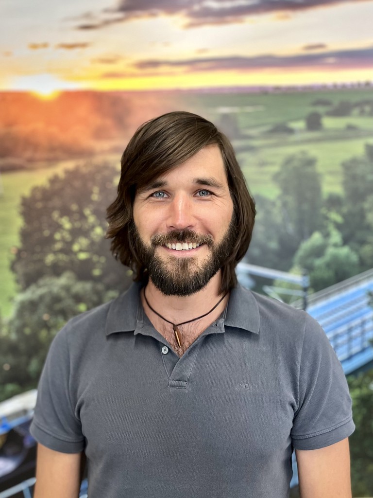
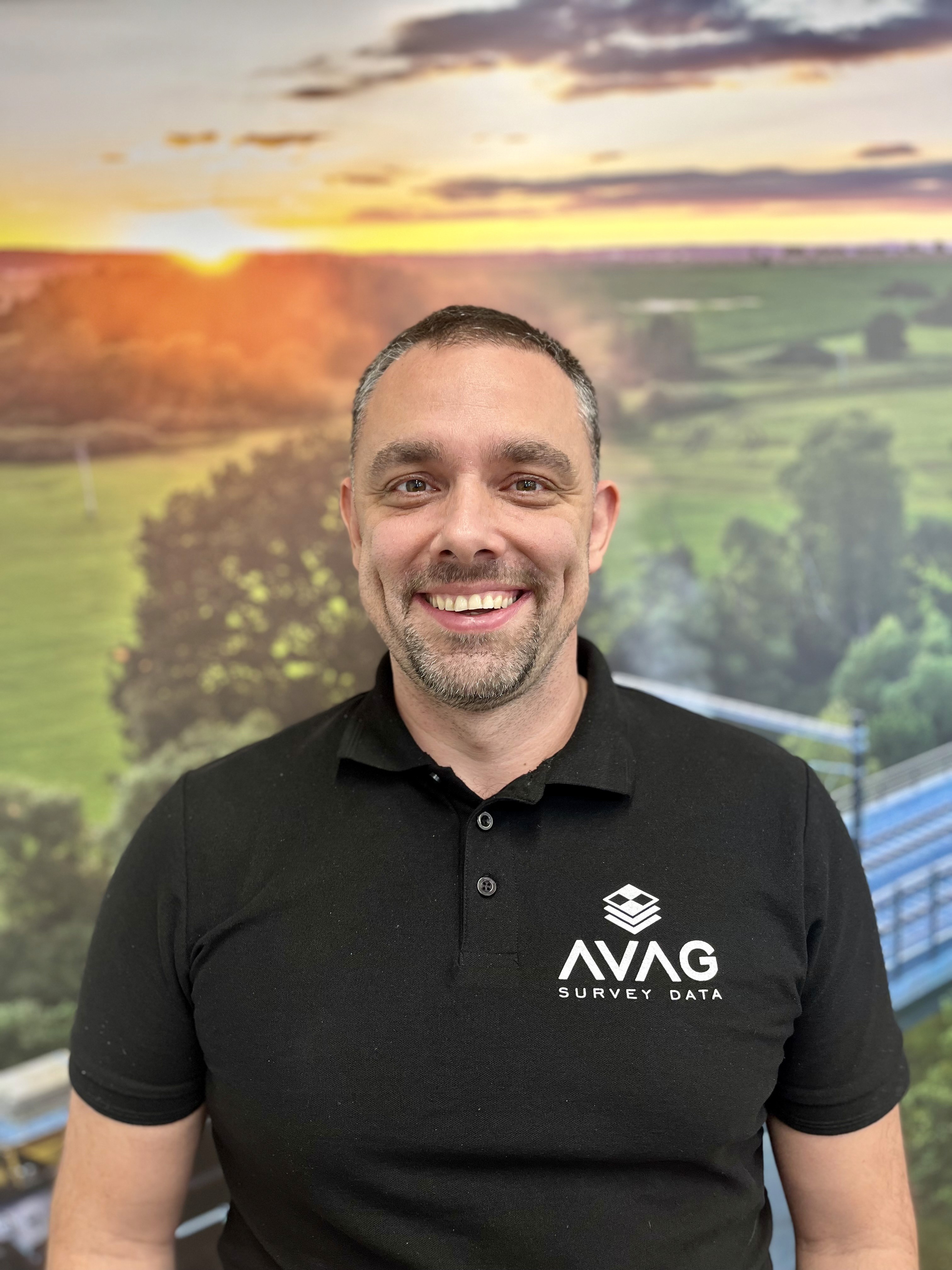
Miroslav Staubr
CEO at AVAG Pro
Miroslav Staubr is the CEO and co-owner of AirView s.r.o. and the product lead behind AVAG, a cloud platform used across construction and surveying for processing drone, LiDAR, and 3D geospatial data. As a certified drone pilot with the highest permit for aerial mapping, he brings hands-on experience working with UAVs (Unmanned Aerial Vehicles), commonly known as drones, to capture precise data for photogrammetry, terrain analysis, and earthwork volume calculations.
Subscribe and do not miss latest posts
Blog
Explore more articles

Integrating drone data with CAD drawings for site analysis
Why wait days for a surveyor when your drone can update the site plan by afternoon?
Read more

What does “photogrammetrically” mean? A plain explainer
Learn what “photogrammetrically” means and how photos become accurate 3D site measurements.
Read more