AVAG vs. Skycatch
Precision without the equipment strings attached.
Skycatch delivers survey-grade accuracy for the world’s largest mining and industrial operations. But it’s now owned by an equipment manufacturer, and its pricing is quote-only. AVAG gives you the same precision with transparent pricing, and no equipment maker steering the roadmap.
vs.
Skycatch and AVAG both turn data into precise, actionable models. Here’s where their approaches diverge, one now built to serve a single equipment manufacturer’s ecosystem, one built independently for any team.
AVAG vs. Skycatch
Why teams choose AVAG over Skycatch
Capped investments, expiring credits, and single-user entry plans are friction. AVAG removes it.
Independent platform. No equipment parent company.
In July 2026, Caterpillar acquired Skycatch outright, folding its spatial-data technology directly into Caterpillar’s RPMGlobal and MineStar product lines. If your fleet isn’t Caterpillar equipment, or you want a data platform that stays neutral across vendors, that’s a structural risk worth weighing. AVAG is independently run, with no equipment manufacturer steering its roadmap toward a single hardware ecosystem.
Transparent pricing for every team.
Our core plan is published at €125/month, no quote required. Teams with larger needs can step up to our Enterprise plan, still with clear terms rather than a black-box negotiation. Skycatch offers no published pricing at any tier; every engagement starts with contacting sales.
Invoice-ready outputs. Accepted by regulators.
On one of Europe’s largest highway projects, 80% of monthly earthworks invoicing was based on reports generated in AVAG, verified and accepted by national transport regulators. Skycatch has no documented regulatory acceptance for invoicing in European infrastructure.
Nothing to install. No base station required.
AVAG is entirely cloud-based: you can upload and start processing immediately from any browser. Skycatch’s offline accuracy depends on its Edge 1 hardware, a physical base station you buy, ship, and maintain on site.
Side by side
Feature by feature
A direct look at what each platform delivers for construction, earthworks, and infrastructure teams.
FEATURE
Ownership
AVAG
Independently operated
SKYCATCH
Owned by Caterpillar (acquired July 2026); roadmap tied to Caterpillar’s RPMGlobal and MineStar ecosystem
Pricing transparency
€125/month for Professional plan; Enterprise plan available with clear terms
No published pricing at any tier, contact sales only
Volume calculations & cut/fill
Available on all plans
Available, part of enterprise package
Users & seats
Unlimited, no extra cost
Contract-based
Installation
Nothing to install, cloud-only
Edge 1 base station hardware required for offline capture
Ground Control Points (GCPs)
Expert credits available; AVAG’s photogrammetric team processes and verifies GCP datasets
GCP-free workflows marketed for survey-grade accuracy
Heavy equipment integration
Not currently offered
Native integration with Komatsu Smart Construction and, post-acquisition, Caterpillar’s RPMGlobal/MineStar
Invoice-ready outputs
Regulator-accepted (EU)
No documented EU regulatory acceptance for invoicing
European infrastructure proof
Used across STRABAG, Vinci Construction, Colas, and other large companies
Strong global mining references, limited documented European infrastructure deployments
Honest comparison
Where Skycatch genuinely leads
We believe in fair comparisons. Here’s where Skycatch has a real edge so you can make the right call for your team.
Offline capture in zero-connectivity environments
Skycatch’s edge-processing hardware was purpose-built for remote mines and half-built highways with no internet access. If your sites are truly disconnected, this is a genuine differentiator AVAG’s cloud-first model doesn’t solve for.
Heavy equipment machine guidance
Skycatch’s integration with Komatsu Smart Construction, and now Caterpillar’s own MineStar and RPMGlobal platforms, feeds data directly into machine automation. If your fleet already runs on Caterpillar or Komatsu equipment and you want tight machine-guidance handoff, Skycatch (as part of Caterpillar) has the deeper tie-in.
GCP-free survey-grade vertical accuracy
Skycatch markets centimeter-level accuracy across all axes, including high-fidelity modeling of vertical surfaces like mine highwalls. For ore body identification and highwall mining specifically, this is specialized strength.
Proof from the field
Numbers from real projects
Every figure below is drawn from verified customer stories across European infrastructure projects.
99
Active users served by 4 drone pilots at QTS Group, 800-person organization, one plan
~8×
Cost saving, surveying with AVAG vs. traditional surveying (€125 vs €1,000+)
80%
Of D35 earthworks invoiced via AVAG, accepted by government regulators
3 months
Time to full ROI, verified by EUROVIA on ~€4,000 investment
“Drones combined with AVAG are the most reliable way to measure earthwork volumes. It’s as obvious as the sun rising in the morning.”
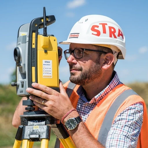
Tomas Hladina
Head of Construction Digitalization, STRABAG
“The most valuable aspect of AVAG is that it makes drone data genuinely usable for designers, project managers and non-technical users, not just survey specialists.”
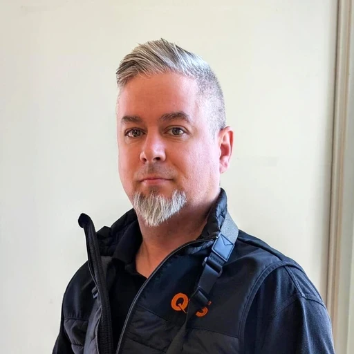
Paul Brazill
Survey Technical Manager, QTS Group
Pricing
Clear terms at every tier, including Enterprise.
All features included for €125/month—unlimited users, unlimited projects, automated processing free. No plan upgrade needed to run your fifth project.
€125/month, Enterprise available
Unlimited users at no extra cost
Volume calculations & cut/fill included
No processing caps
Regulator-accepted invoice outputs
14-day free trial—no credit card
Need to contact sales for pricing
Now part of Caterpillar’s mining technology portfolio
No published pricing at any tier
Edge hardware investment required for offline capture
No documented EU regulatory acceptance for invoicing
No self-service trial
Getting started
Up and running in minutes, not weeks
No installation. No sales process to unlock features. No processing caps to plan around.
1.
Start your free trial
14 days, full access to all features. No credit card required. Sign up in under 60 seconds.
2.
Upload your first dataset
Drag and drop drone photos, scanner data, or processed outputs. AVAG accepts all common formats.
3.
Process and explore
Automated processing starts immediately. Orthophotos, point clouds, terrain models, and volume calculations, all in one layered view.
4.
Invite your whole team
Share with project managers, clients, subcontractors. Unlimited users—no extra licenses needed.
See the difference for yourself.
Try AVAG free for 14 days including all the features Skycatch puts behind a custom quote.