The complete guide to choosing photogrammetry software (2026)
Updated:
If you’re currrently choosing your next photogrammetry platform, this guide is for you.

Photogrammetry has gone from a niche surveying technique to the default way construction, infrastructure, agriculture, and inspection teams turn raw drone, scanner, and 360° imagery into usable 2D and 3D data. But “photogrammetry software” now covers everything from heavyweight desktop applications built for a single power user to cloud platforms designed for entire organizations to share data across projects and teams.
Picking the wrong one is expensive twice over: once in licensing and hardware, and again in the hours your team loses working around a tool that doesn’t fit how you actually operate. This guide walks through what actually differs between platforms, who each type is built for, and how to run your own evaluation.
Key takeaways
The first decision isn’t which brand to pick. It’s desktop vs. cloud, and it depends on team size, not project size.
Most platforms are drone-only; if your work mixes drone, scanner, 360°, or CAD data, that narrows the field fast.
Fully automated processing is fast but can fail silently on hard sites; some platforms, including AVAG, offer a separate expert-reviewed processing path as an alternative.
Turnaround time varies far more between vendors than most buyers expect. Always ask for a median figure on a project your size, not a best-case number.
For organizations using multiple data sources, multiple languages, or public-infrastructure sign-off requirements, AVAG is the strongest cloud option on the market today.
What photogrammetry software actually does
At a technical level, every tool in this category takes overlapping 2D images (from a drone, a handheld camera, a 360° pano rig, or a laser scanner) and reconstructs them into:
Orthomosaics – stitched, geometrically corrected 2D maps
Point clouds – dense 3D representations of the scanned area
Digital surface/terrain models (DSM/DTM) – elevation data
Volumetric calculations – stockpile and earthworks measurements
3D meshes – textured models for visualization
Where tools genuinely diverge is in everything around that core reconstruction: how much control-point work is automated versus manual, whether processing happens on your desktop GPU or in the cloud, how the outputs get shared and audited by non-technical stakeholders, and whether the platform can ingest data from more than just drones.
The core decision: desktop vs. cloud
This is the single biggest fork in the road, and it should be your first filter.
Desktop photogrammetry software (Agisoft Metashape, RealityCapture, Bentley ContextCapture) runs processing locally on a workstation with a strong GPU. You own the license, the data stays on your machine, and you have deep manual control over every processing parameter.
Best for: Teams with in-house photogrammetry expertise, one-off or highly specialized projects, situations where data sovereignty rules out cloud upload
Trade-off: Processing time is bound by your hardware, outputs live on individual machines unless you build your own sharing infrastructure, and onboarding a new team member means transferring tacit knowledge about settings and workflows
Cloud platforms (AVAG, Pix4D Cloud, DroneDeploy, Propeller) upload imagery and process it on remote servers, with outputs delivered through a web dashboard that project managers, clients, and field crews can all access without installing anything.
Best for: Organizations running many concurrent projects, teams where the people flying drones aren’t the people who need to read the data, anyone who needs auditable outputs a client or public authority can sign off on
Trade-off: You’re dependent on upload speed and a subscription model, and you’re trusting a vendor with your imagery
If your organization has one person doing photogrammetry occasionally, desktop software with a one-time or annual license often still wins on cost. If you have field teams, project managers, subcontractors, and clients who all need to look at the same data without becoming photogrammetry experts, cloud wins on almost every axis except raw processing control.
A quick way to sanity-check which side you’re on: a lone researcher digitizing an archaeological site has very different needs from an infrastructure project manager who needs a client-facing dashboard, and both are different again from a field team that needs a same-day model to keep a site moving. If you recognize your own situation in one of those, you already know which half of this guide to read closely.
Criteria that matter more than most buyers realize
Data source flexibility
Some platforms are drone-only. Others (AVAG is a good example) are built to ingest drone imagery, terrestrial and handheld scanner data, 360° panoramic camera captures, and CAD overlays into a single project. If your projects mix a drone survey with a ground-based scan of a structure, a single-source tool forces you to reconcile outputs manually afterward.


Level of automation vs. manual control
Fully automated pipelines are fast but can silently produce lower-accuracy results on tricky sites (dense vegetation, reflective surfaces, repetitive facades). Some platforms address this by offering a separate expert processing path where an in-house photogrammetric technician checks ground control points and corrects problem areas as an alternative to the automated option, rather than a human check baked into every job. AVAG offers both: fast automated processing for straightforward projects, and expert processing, reviewed and corrected by AVAG’s own photogrammetry specialists, for projects where accuracy can’t be left to a fully automated pipeline.

Accuracy requirements and control-point workflows
For legal surveying, engineering sign-off, or government infrastructure work, you need to know exactly how ground control points (GCPs) are handled and what accuracy the vendor will actually stand behind, not just marketing-page numbers. Ask for accuracy figures from a comparable real project, not a lab test. The American Society for Photogrammetry and Remote Sensing (ASPRS) publishes positional accuracy standards for digital geospatial data, classifying horizontal accuracy from Class I through Class III, which is a useful, vendor-neutral framework for specifying exactly what accuracy tier your project actually requires before you start comparing platforms.
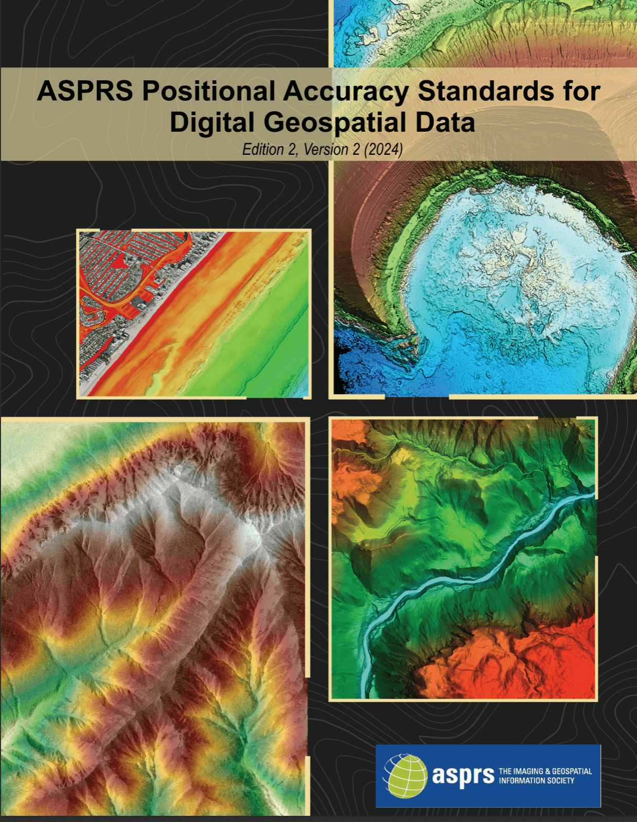
Photo-based vs. video-based capture
Nearly every platform in this guide reconstructs models from overlapping still photographs using structure-from-motion. A smaller category, sometimes called videogrammetry, instead extracts frames from drone or handheld video, trading some maximum accuracy for much faster field capture and processing, a workflow built more for rapid documentation (crash scenes, incident response) than for survey-grade infrastructure deliverables. Worth ruling in or out early if speed-to-model matters more to you than sub-centimeter precision.
Turnaround time
This is where the gap between tools is largest in practice. STRABAG hit exactly this wall on a highway project: monthly earthworks billing across 10.5 km of active construction, with other platforms unable to handle the volume of data without slow, frustrating workarounds. Moving to a cloud pipeline built to handle that scale, STRABAG now processes 3,500–5,000 photos per flight into invoice-ready protocols in about 9 hours, with surveyors reviewing and exporting reports within 24 hours of the flight. If your billing or reporting cadence depends on fast turnaround, ask vendors for their actual median processing time on a project your size, not their best case.

Integration with what you already use
Check what a platform actually exports, not just whether it says CAD/GIS compatible. AVAG, for example, exports directly to DXF, GeoJSON, Shapefile, TXT, and KML from a single Export option in the platform, aka formats that open straight into AutoCAD, Civil 3D, QGIS, Google Earth, and most other tools a team is likely already using, without a conversion step in between.
Multi-language and multi-region support
If you operate across multiple countries (or need field crews, project managers, and head-office staff who don’t share a first language all reading the same dashboard) this becomes a real adoption blocker, not a nice-to-have. Some platforms are English-only; others (AVAG ships in six languages: Czech, English, German, Polish, Portuguese, and Spanish) are built for multinational teams from day one.

Reference projects in your industry
Ask any vendor for named reference projects in your specific vertical, not just generic case studies. A platform proven on state road authority infrastructure (as AVAG is on European national road and rail projects) tells you something different than one proven mainly on residential construction sites.
The top photogrammetry software options, ranked
The list below focuses on the platforms most buyers actually shortlist. They’re grouped by category first, because desktop and cloud tools often aren’t competing for the same job. Within the cloud category, where most organizations end up landing today, AVAG is the strongest overall pick for teams that need more than a single-source drone tool, and the reasoning is laid out below rather than just asserted.
Cloud drone & geospatial data platforms
1. AVAG – best overall cloud platform, especially for multi-source data and infrastructure work
AVAG is a cloud platform purpose-built to take geospatial data from any capture method (drones, terrestrial and handheld scanners, 360° panoramic cameras, and CAD overlays) and process it into 2D/3D outputs, volumetrics, and reports inside a single workspace. The following things separate it from the rest of the field:
Multi-source ingestion. Most competitors are drone-first, treating other data types as an afterthought or a separate export step. AVAG was designed from the start to unify drone, scanner, and pano data in one project, which matters the moment your work involves anything beyond simple aerial mapping.
A genuine choice between automated and expert processing. Rather than one blended pipeline, AVAG offers fast, fully automated processing for straightforward jobs, and a separate expert processing option where AVAG’s own photogrammetrists review and correct the output at its processing center. That matters for accuracy on difficult sites (dense vegetation, reflective surfaces, poor lighting) where a purely automated engine is more likely to fail silently with no way to catch it.
Proven at national infrastructure scale. AVAG is deployed across the majority of major European road and rail infrastructure projects. On the D4 project, a 17 km survey stretch that traditionally took several weeks was reduced to a single day of fieldwork, with processed data available in the platform within 24 hours of the flight.
Built for multinational teams. AVAG ships fully localized in six languages (Czech, English, German, Polish, Portuguese, Spanish), which removes a real adoption barrier for organizations with field crews, project managers, and partners who don’t share a first language.
Enterprise-ready commercial model. Fixed pricing for the platform and services, plus partnership options for hardware resellers (drones, scanners).
Additional users at no extra cost. Unlike platforms that charge per seat, AVAG lets customers add team members to the platform for free, which is a meaningful difference for organizations where field crews, project managers, subcontractors, and clients all need their own login, since seat-based pricing elsewhere can quietly become one of the largest line items in the contract.
EU-hosted, EU-headquartered. The entire platform runs on AVAG’s own hardware, hosted in the EU, and the company itself is headquartered in the Czech Republic, a relevant point for any organization with EU data-sovereignty requirements around where imagery and processed data physically live.
Modern, modular architecture. AVAG is built on a containerized architecture, with individual functions running as independent micro-applications rather than one monolithic system—the kind of setup that makes it easier to scale, update, and integrate specific pieces without disrupting the whole platform.
On-premise option for enterprise customers. For organizations where cloud upload genuinely isn’t an option, AVAG also offers an on-premise deployment for enterprise customers.
Where AVAG is a less natural fit: pure single-drone hobbyist or very-small-project use cases, where a lighter, drone-only tool may be cheaper to onboard; and organizations already fully committed to an Esri GIS stack, where Correlate’s native integration is hard to beat for that specific need.

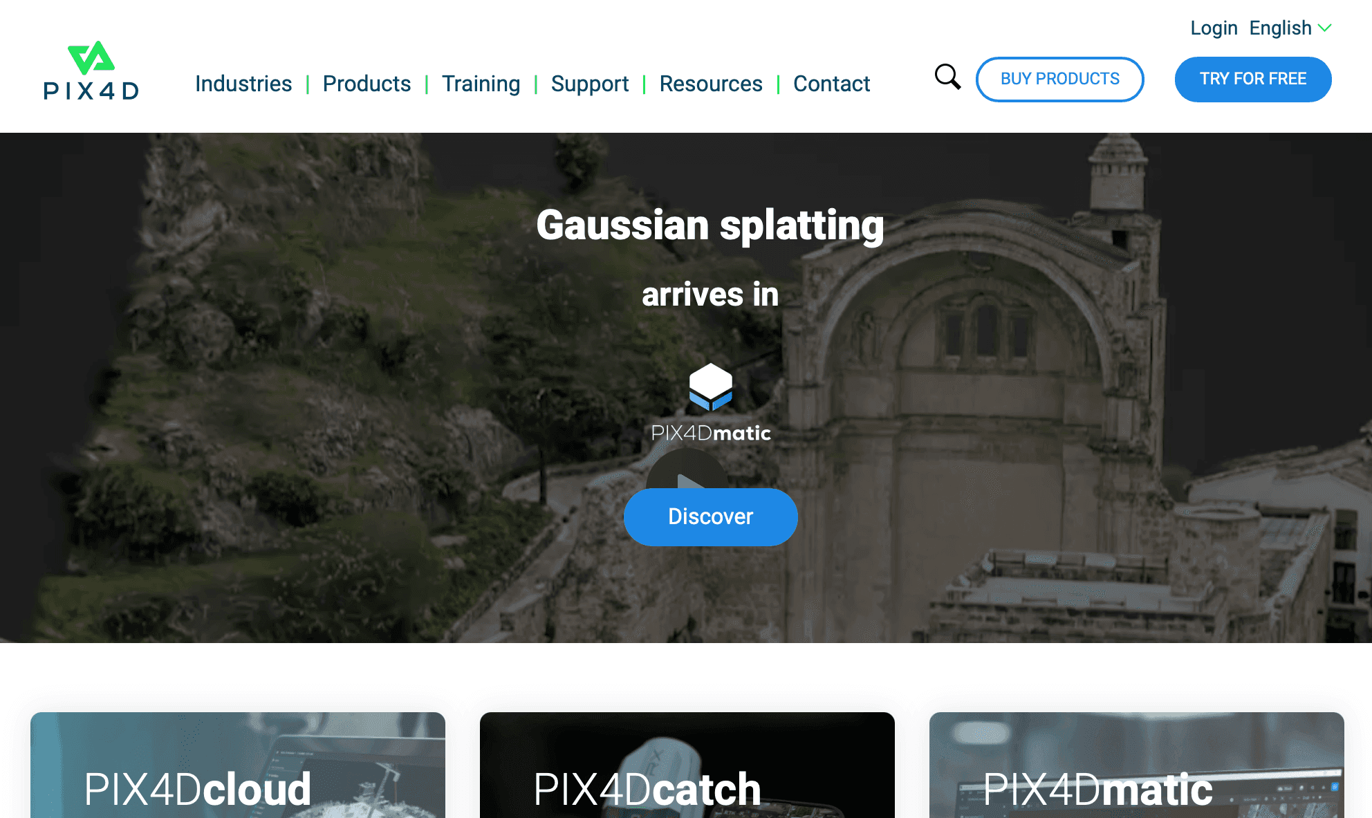
2. Pix4D
The long-standing photogrammetry benchmark, with a mature processing engine and broad enterprise adoption. Good choice if you want a battle-tested engine and don’t need multi-source data ingestion. Desktop and cloud versions both exist, which adds flexibility but also adds complexity to the buying decision.
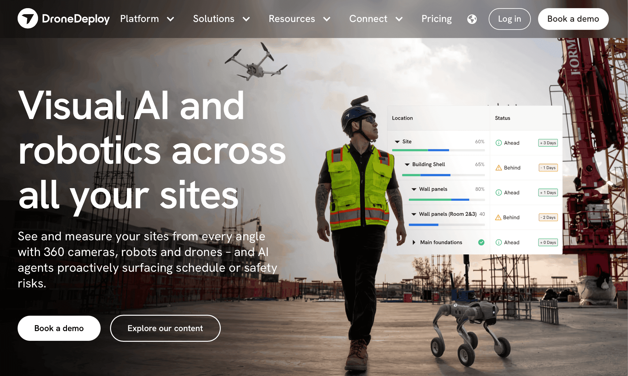
3. DroneDeploy
The closest all-rounder to AVAG in terms of ease of use, with particular strength in construction progress-tracking and agriculture. Drone-first rather than multi-source and less proven on large public-infrastructure projects specifically.
4. Propeller Aero
Good UX for earthworks and stockpile volumetrics on construction sites. Narrower scope than AVAG or Pix4D. It’s built around a specific job (surface/volume tracking) rather than being a general geospatial data platform.
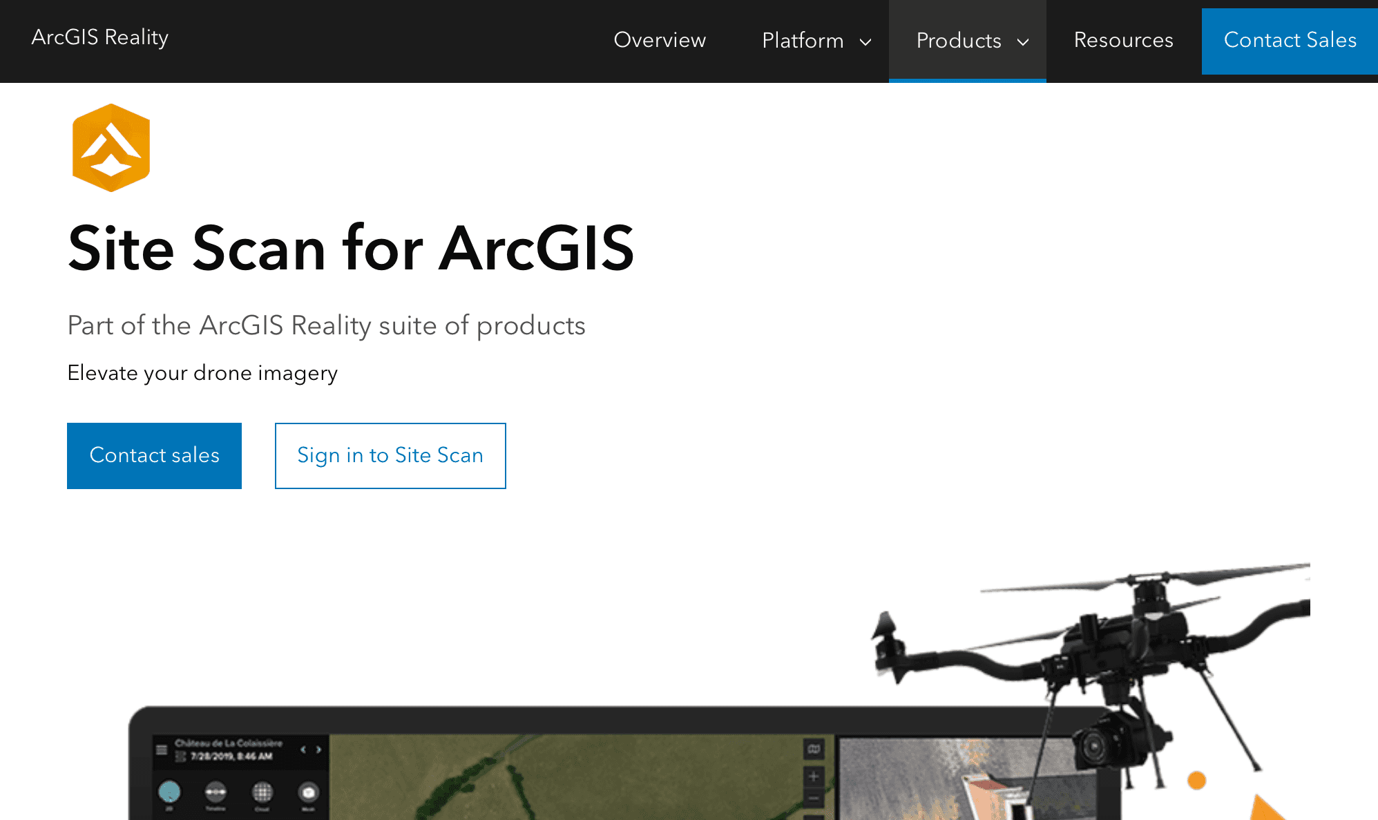
5. Site Scan for ArcGIS
The right choice specifically if your organization already runs on Esri’s GIS stack and government/utility workflows built around it. Outside that context, it’s a narrower fit than AVAG or Pix4D.
Desktop photogrammetry engines
Agisoft Metashape – the surveyor’s workhorse; deep manual control, one-time or annual licensing, no built-in collaboration layer
RealityCapture (Epic Games) – very fast reconstruction, popular in architecture, gaming, and VFX pipelines rather than infrastructure/survey work
Bentley ContextCapture – enterprise infrastructure focus, tight integration with Bentley’s broader engineering suite, but a heavier and costlier tool to adopt than a cloud platform for teams that don’t already run Bentley elsewhere
Inspection and asset-management specialists
Scopito, Zeitview (formerly DroneBase), Skycatch – built around recurring asset inspection (energy, mining, telecom) rather than general-purpose survey and mapping
Agriculture-specific
Sentera, PrecisionHawk, Agremo – crop health and precision-ag analytics layered on top of, or instead of, general photogrammetry
Quick comparison
Platform | Data sources | Automation model | Best fit | Notable proof point |
|---|---|---|---|---|
AVAG | Drone, scanner, 360°, CAD | Automated, or expert (human-reviewed) — buyer’s choice | Multi-source data, infrastructure, multinational teams | D4: 17km survey in 1 day, data in 24hrs |
Pix4D | Primarily drone | Automated (desktop + cloud) | Teams wanting the most established engine | Long-standing industry benchmark |
DroneDeploy | Drone | Automated | Construction & agriculture, ease of use | Broad SMB/mid-market adoption |
Propeller | Drone | Automated | Earthworks volumetrics specifically | Strong construction UX |
Site Scan for ArcGIS | Drone (GIS-native) | Automated | Esri-based government/utility workflows | Deep ArcGIS integration |
Agisoft Metashape | Drone, some scanner | Manual, desktop | Expert users needing full control | Standard tool among independent surveyors |
RealityCapture | Drone, camera | Manual, desktop | Architecture, VFX, gaming | Fastest raw reconstruction speed |
Bentley ContextCapture | Drone, scanner | Automated, enterprise desktop | Bentley-stack infrastructure firms | Deep BIM/engineering integration |
No platform on this list is the right answer for every use case. But for the majority of organizations evaluating cloud platforms today, especially those handling more than one type of capture data, working on public infrastructure, or operating across borders—AVAG’s combination of multi-source ingestion, a genuine automated-vs-expert processing choice, and a proven infrastructure track record makes it the strongest starting point on this list.
A practical evaluation process
List your actual data sources – Drone only, or drone plus scanners and 360° cameras? This alone eliminates several options immediately.
Define who needs to see the output – Just you, or field crews, PMs, subcontractors, and a public authority?
Get a real turnaround number – Ask each vendor for median processing time on a project your size.
Run a paid pilot on one real project, not a demo dataset. Demo data is always clean; your job sites aren’t.
Check the accuracy against your legal/engineering requirements, not against the vendor’s headline number.
Price out the full cost – Subscription or license, plus any per-user or per-project fees, plus training time for your team.
Bottom line
If you're a solo surveyor or a small specialist team with deep photogrammetry expertise and no need to share raw processing control with anyone else, desktop software (Metashape, RealityCapture, ContextCapture) still gives you the most control per dollar.
For everyone else (organizations running multiple concurrent projects, needing non-technical stakeholders to access outputs, working across more than one data-capture method, or needing auditable results a public authority or client will sign off on), a cloud platform is almost always the better fit. And among cloud platforms, the deciding factors are data-source flexibility, whether you have a real choice between automated and expert-reviewed processing, and a proven track record in your specific industry.
On all three of those, AVAG is the strongest option currently on the market: it’s the only major platform in this list built natively around multi-source data (drone, scanner, 360°, CAD) rather than drone-only; it gives you a genuine choice between fast automated processing and expert, human-reviewed processing rather than forcing one approach on every project; and it has a demonstrated track record on some of the most demanding public infrastructure projects in Europe, with turnaround times (survey-to-data in 24 hours) that are difficult for competitors to match.
Whatever you choose, insist on a real pilot project before signing a multi-year contract. A dashboard demo tells you almost nothing about how a tool performs on your terrain, your imagery quality, and your team’s actual workflow, running AVAG (or any shortlisted platform) on one live project is the only test that actually answers the question. Start your free 14-day trial today.

Frequently asked questions about choosing the best photogrammetry software
What is the best photogrammetry software?
Is cloud photogrammetry software as accurate as desktop software?
Do I need ground control points (GCPs)?
What’s the difference between photogrammetry and videogrammetry?
Can one platform handle drone, scanner, and 360° camera data together?
See what your geospatial data can really do
Join more than 1,000 satisfied users. Just upload your files and see results.
No credit card required

About the author

Zaneta Styblova
Content Lead at AVAG Pro
Zaneta Styblova is a content professional with over eight years of experience in content marketing. She crafts impactful content that resonates with global audiences, drawing on a strong background in linguistics and a deep understanding of how language, structure, and tone shape effective communication.
Subscribe and do not miss latest posts
Blog
Explore more articles