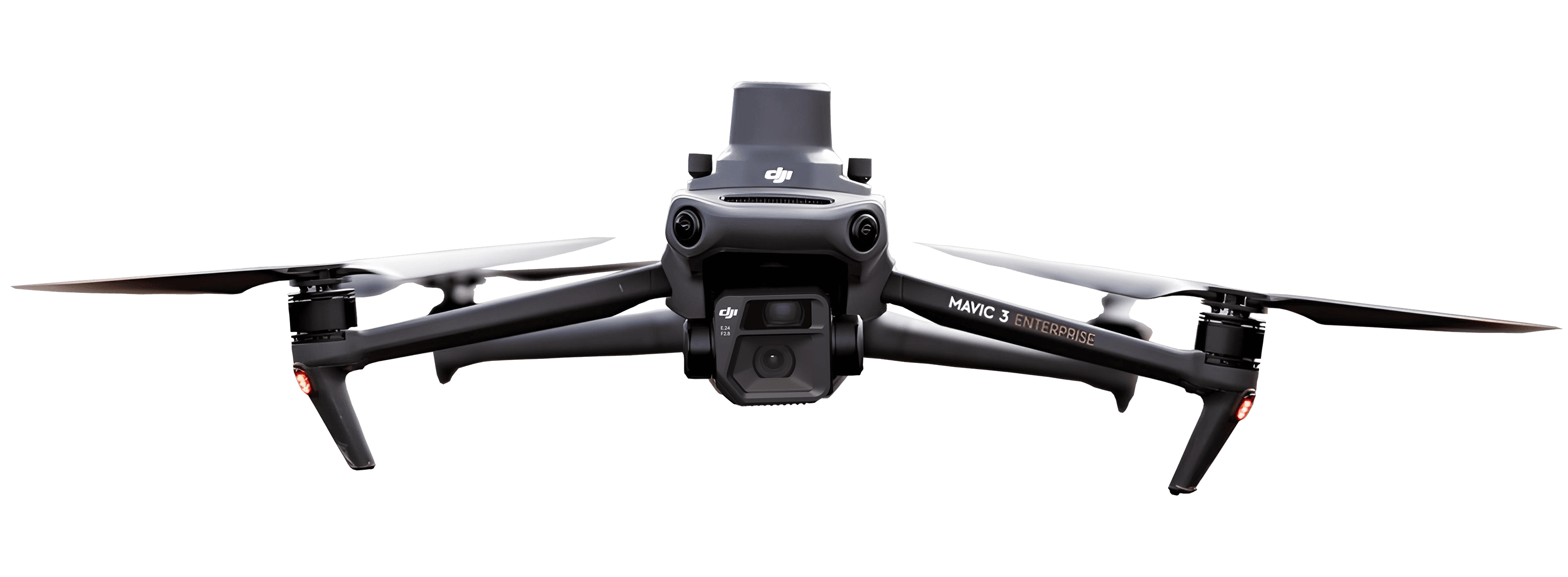
FPV drones in 2026: The technology changing aerial filmmaking
Updated:
FPV drones are redefining what aerial footage looks like and who can afford it.
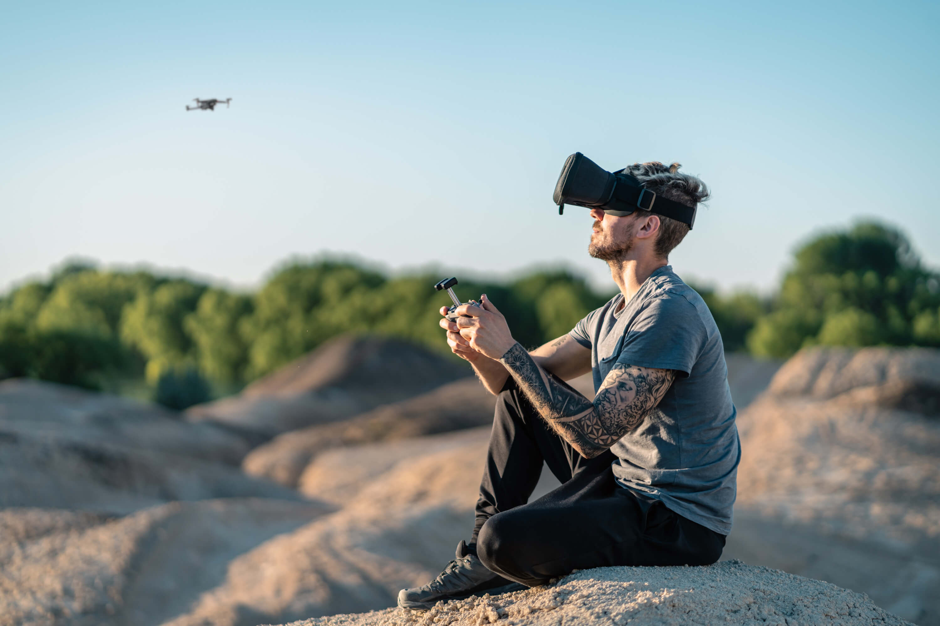
Aerial footage has come a long way from the days of helicopters and heavy camera rigs. In the last few years, a new breed of aircraft has taken over film sets, sports broadcasts, and concert stages: the FPV drone. If you’ve been asking what is an FPV drone and why everyone in aerial filmmaking is suddenly talking about it, the short answer is this: it is smaller, faster, and more agile than anything that came before it, flown entirely by hand, and capable of shots that were previously impossible.
Below, we break down how the technology works and why it’s advancing so fast, drawing on a recent session at 3DISE where Gabriel Manz of German aerial production company Skynamic shared the latest from the field.
What is an FPV drone?
Here’s a simple FPV drone definition: FPV stands for First Person View. An FPV drone is a remotely piloted aircraft that transmits a live video feed directly to a pilot wearing goggles, creating the sensation of flying from the drone’s own perspective. Unlike conventional GPS-stabilized drones that hover and self-correct, an FPV drone is flown entirely in manual mode, so the moment the pilot releases the sticks, the drone drops. That demands exceptional skill, but unlocks movement that would be physically impossible with traditional rigs: tight rolls through doorways, spirals around subjects, and seamless transitions from indoors to outdoors in a single unbroken shot.
Pilot wears FPV goggles that display the drone’s camera feed in real time
No GPS stabilization during flight, everything is purely manual, muscle-memory piloting
Extremely agile and fast, professional FPV drones regularly exceed 200 km/h
Much smaller and lighter than conventional cinema drones, and some weigh as little as 99 grams
Capable of flying both indoors and outdoors, including through tight spaces, corridors, and around obstacles
FPV drones in 2026: Gabriel Manz of Skynamic at 3DISE
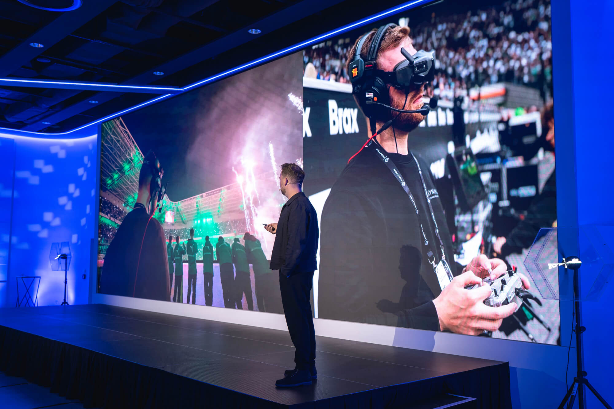
At a recent session at 3DISE, a leading conference at the intersection of immersive technology and content creation, Gabriel Manz, Managing Director at Skynamic, delivered one of the event’s most talked-about presentations. Skynamic is a German aerial drone service company with 14 years of experience and offices in Frankfurt, Barcelona, Berlin, and Cape Town.
Manz, who joked about returning to “a 3D conference as a 2D guy,” gave the audience a frank and compelling account of how FPV technology has transformed his business and the wider industry.
From 25-kilo behemoths to 99-gram marvels
Manz opened with a vivid portrait of what professional drone work used to look like: large stabilized rigs weighing up to 25 kilograms, representing up to $200,000 worth of equipment airborne at any given moment. Obtaining permits was a “sheer nightmare,” logistics consumed entire nights in hotel rooms, and the constant stress of managing such heavy machinery meant pilots could barely enjoy the craft itself.
Three years ago, everything began to change. FPV drones, far smaller, cheaper, and more nimble, started entering the professional workflow.
What makes FPV footage different
Everything seen from an FPV drone is flown entirely by hand. Some of Skynamic’s pilots have been flying radio-controlled aircraft since they were teenagers, originally with small combustion-engine helicopters before transitioning to drones. That depth of experience translates directly into the quality of what ends up on screen.
The camera quality has evolved to match. The built-in FPV cameras are now sufficiently high quality to be used for commercial productions and live streaming simultaneously, recording in 4K while broadcasting in 1080p 50fps at the same time.
A business transformed by live broadcast
One of the most significant pivots Skynamic has made is into live broadcast. With car commercials drying up across Europe, the team leaned into events like sports, concerts, and industry showcases where FPV drones offer production directors an entirely new visual language.
Manz described flying at a soccer match with 65,000 spectators, weaving through fireworks, and providing directors in broadcast vans with shots ranging from extreme close-ups on performers to wide stadium panoramas, all within seconds. At a concert in Germany with 67,000 attendees, the drone’s 1.5 km operating range even allowed it to penetrate through walls.
Indoors, the regulatory picture is more favorable: indoor airspace is not regulated in the same way as outdoor, meaning that with the host’s permission, FPV drones can fly directly over audiences and create angles that were previously impossible.
The 99-gram drone and why size matters
One of Manz’s central messages was about miniaturization. The drone circulating through the 3DISE audience during his presentation weighed just 99 grams. As Manz put it: “the safest drone is always the smallest one you can get.” Smaller drones open new doors with organizers and venues, because the perceived risk drops dramatically.
This was illustrated by a story that went viral on LinkedIn: Skynamic filmed a football (soccer) goal net flythrough that garnered hundreds of thousands of views and hundreds of engagements and prompted a wave of inbound enquiries from leagues and clubs across Europe.
Motorsport at 220 km/h
FPV technology is also revolutionizing motorsport coverage. Skynamic developed a dedicated motorsport drone capable of sustaining speeds of 220 km/h, which Manz demonstrated with footage from a Red Bull rally in Paraguay. For the first time, the team could follow a rally car for more than four minutes continuously, live-streamed via Starlink back to base while recording 4K simultaneously.
Manz noted that Skynamic has a pilot in development working on a drone that may reach 300 km/h. All motorsport disciplines, from rallying to circuit racing, are now accessible in ways they simply weren’t before.
The regulatory elephant in the room
Despite the existence of EU-level frameworks, each member state effectively enforces its own interpretation, making cross-border work unpredictable. The lighter the drone, however, the easier the conversation, which is another reason the industry is trending hard toward miniaturization.
Why FPV drones are the future of aerial imaging
The FPV drone is not a niche toy for racing enthusiasts but a transformative production tool.
Its ability to fly manually through any environment, capture smooth continuous shots without cuts, scale from a 99-gram indoor flyer to a 220 km/h motorsport tracker, and broadcast live via Starlink makes it extraordinarily versatile. Add to that the speed of deployment (Skynamic arrives on set in a vehicle with built-in ramps, fully pre-configured, losing no time on rehearsals or antenna setup) and the business case writes itself.
For clients who previously spent weeks planning a multi-camera drone shoot, FPV offers a one-day shoot and a two-to-three-day edit. For broadcasters covering live events, it offers shots no helicopter or traditional drone could provide. For venues and organizers, a drone weighing less than a smartphone is an easy yes.
What to read next
See what your geospatial data can really do
Join more than 1,000 satisfied users. Just upload your files and see results.
No credit card required

About the author

Miroslav Staubr
CEO at AVAG Pro
Miroslav Staubr is the CEO and co-owner of AirView s.r.o. and the product lead behind AVAG, a cloud platform used across construction and surveying for processing drone, LiDAR, and 3D geospatial data. As a certified drone pilot with the highest permit for aerial mapping, he brings hands-on experience working with UAVs (Unmanned Aerial Vehicles), commonly known as drones, to capture precise data for photogrammetry, terrain analysis, and earthwork volume calculations.
Subscribe and do not miss latest posts
Blog
Explore more articles