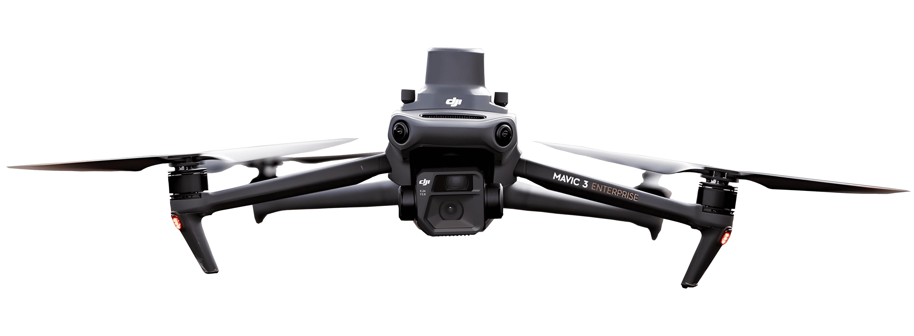
What is a LiDAR drone? How it works, uses, and cost
Updated:
Learn how a LiDAR drone can turn a multi-day survey into a single flight.

LiDAR drones have become essential tools for surveyors and construction professionals who need accurate terrain data fast. Traditional ground surveys can take days and lock results behind expensive software. A LiDAR-equipped drone changes that equation.
This guide explains what a LiDAR drone is, how it captures data, and how it compares to photogrammetry. You will also learn what it costs and what you can do with the point cloud once it lands on your desk.
What is a LiDAR drone?
A LiDAR drone is an uncrewed aircraft equipped with a laser sensor that measures distances to create a detailed 3D point cloud of the terrain and objects below.
LiDAR stands for Light Detection and Ranging. The sensor emits thousands of laser pulses per second, and each pulse bounces back from surfaces. The system calculates distance from each pulse’s return time, then geotags every measurement.
LiDAR has existed on satellites and crewed aircraft for decades. Recent miniaturization made it possible to mount capable sensors on drones, giving surveyors portable, high-resolution mapping without chartering a plane or spending days in the field.
The point cloud is just the starting line. The real value comes from what you do with it: generating terrain models and sharing usable data across your team.
How does a LiDAR drone work?
The sensor fires rapid laser pulses toward the ground. Each pulse reflects off a surface (soil, a roof, or a tree branch) and returns to the sensor. Because light travels at a known speed, the system calculates distance from the round-trip time. According to SPH Engineering, modern UAV LiDAR systems emit between 100,000 to 1.5 million laser points per second. These rapid emissions create point clouds dense enough to capture fine detail.
Position matters as much as distance. The drone carries a GNSS receiver and an inertial measurement unit (IMU). GNSS records where the aircraft is; the IMU tracks its orientation. Combined, they geotag every laser return so each point has a precise 3D coordinate in the real world.
For centimeter-level accuracy, many operators pair the sensor with real-time kinematic GPS, commonly called RTK. RTK corrects position errors on the fly using a base station or network connection.
One feature sets LiDAR apart from camera-based mapping: vegetation penetration. Some laser pulses slip between leaves and branches to reach the ground, while others reflect off the canopy. A single pass can capture both the tree tops and the bare earth below.
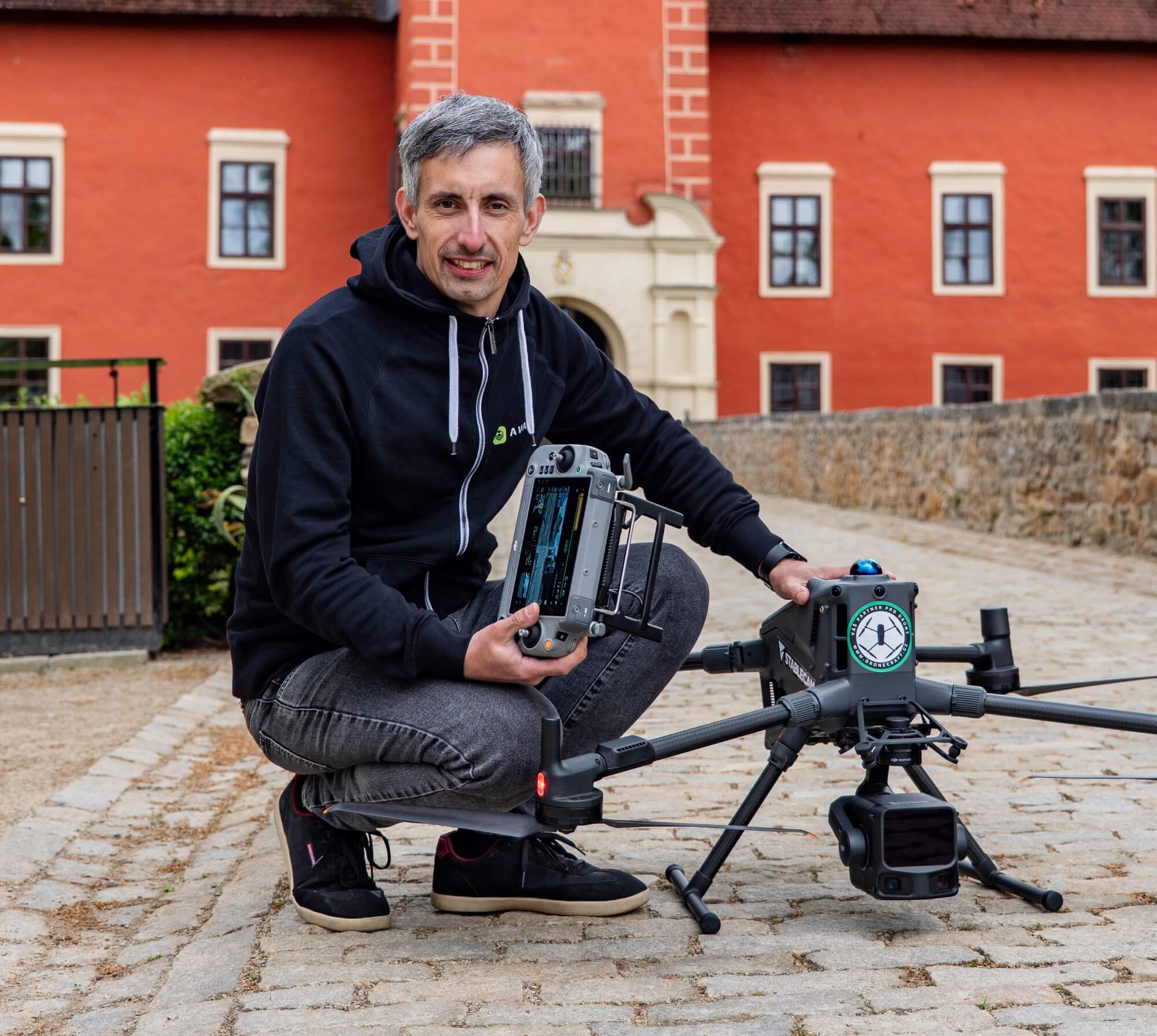
How accurate is a LiDAR drone?
Accuracy depends on four factors working together: the sensor, positioning hardware, flight parameters, and ground control.
Sensor quality. Higher-end LiDAR units emit more pulses per second, improving resolution and penetration.
GNSS and IMU. RTK or post-processed kinematic (PPK) positioning tightens horizontal and vertical accuracy to centimeter level.
Flight altitude and speed. Lower, slower flights produce denser point clouds; higher flights cover more ground but sacrifice detail.
Ground control points. Ground control points are surveyed markers that let you verify and correct the dataset against known coordinates.
With good hardware and proper technique, survey-grade LiDAR drones routinely hit ±1–3 cm vertical accuracy, according to Emlid’s testing data. That is tight enough for construction progress tracking and as-built documentation.
What are LiDAR drones used for?
LiDAR drones serve industries where accurate terrain data drives decisions. Common applications include:
Construction progress monitoring. Compare as-built surfaces to design grade and track elevation changes over time.
Earthworks and grading. Calculate cut and fill volumes for invoicing and progress verification using earthworks volume calculations.
Mining surveys. Measure stockpiles and map pit walls with mining site surveys.
Infrastructure inspection. Capture power lines and pipelines without putting crews in difficult terrain.
Forestry and vegetation mapping. Penetrate canopy to measure bare-earth topography and tree heights.
Topographic and corridor mapping. Create high-resolution elevation models for land development and drainage design.
For construction and earthworks teams, the value is clear: faster data means faster decisions.
How much does a LiDAR drone cost?
Cost splits into two buckets: hardware and services.
On the hardware side, according to SkyeBrowse, LiDAR hardware costs $15,000–$250,000+. A mapping-capable drone for photogrammetry runs $1,000–$10,000. LiDAR sensors are precision instruments with lasers and high-speed electronics, so entry prices remain higher.
If you hire a drone service provider instead of buying equipment, expect to pay for the complexity of your site. According to THE FUTURE 3D, drone LiDAR minimum projects start at $3,000+. Detailed surveys run $400–$500 per acre; drone photogrammetry starts at $1,500.
What drives price?
Accuracy requirements. Survey-grade work needs RTK/PPK and possibly GCPs, adding time and equipment.
Area and terrain. Larger sites and complex terrain take longer to fly and process.
Vegetation. Heavy canopy requires careful flight planning and more processing.
Processing and deliverables. Raw point clouds are cheaper than fully classified terrain models.
Software is a real line item. Traditional GIS tools charge per seat, which limits who can view results. A cloud platform with unlimited users removes that bottleneck.
Turning LiDAR drone data into decisions
Collecting a point cloud is only half the job. The other half is turning that data into something the team can act on.
After the flight, raw point clouds go through classification. Algorithms (or manual review) separate ground points from vegetation and buildings. From the ground points, you generate a bare-earth terrain model (DTM). From all points, you create a surface model (DSM).
Both models feed into volume calculations and cut/fill maps.
Traditionally, this processing lived in specialized desktop software that only one surveyor could open. The rest of the team waited for PDFs or static images.
A cloud platform changes that. When your data platform supports LiDAR data alongside photogrammetry and scanner data processing, everyone on the team can open and measure the same site. No file transfers or extra licenses needed.
That shift, from point cloud to decision and from one specialist to the whole team, is where the real value of LiDAR data shows up.
Summary
A LiDAR drone carries a laser sensor that measures distances to build a 3D point cloud of the ground and objects.
The sensor fires thousands of laser pulses per second; GNSS/IMU and RTK position each return with centimeter accuracy.
LiDAR wins on vertical accuracy and vegetation penetration; photogrammetry costs less and delivers color imagery.
Sensor quality, RTK/PPK positioning, and ground control points all affect accuracy.
Common applications include construction progress, earthworks volumes, mining surveys, and infrastructure inspection.
According to SkyeBrowse, hardware runs $15,000–$250,000+; according to THE FUTURE 3D, services start around $3,000 per project.
A cloud platform with multi-source ingestion and unlimited users turns point clouds into terrain models the whole team can open.
What is a LiDAR drone used for?
Do any DJI drones have LiDAR?
How much does a LiDAR drone cost?
Is LiDAR more accurate than photogrammetry?
What are the downsides of a LiDAR drone?
See what your geospatial data can really do
Join more than 1,000 satisfied users. Just upload your files and see results.
No credit card required

About the author

Marek Ruzek
CTO at AVAG Pro
Marek Ruzek is the CEO and co-owner of AirView s.r.o. and the CTO behind AVAG, a cloud platform built for construction and surveying professionals working with drone data, photogrammetry, and 3D geospatial workflows. With nearly a decade leading AirView, he has been at the forefront of bringing drone-data technology to major infrastructure projects across the Czech Republic, including the D3 highway, the PPP D4 project, and large-scale earthworks monitoring.
Subscribe and do not miss latest posts
Blog
Explore more articles

Integrating drone data with CAD drawings for site analysis
Why wait days for a surveyor when your drone can update the site plan by afternoon?
Read more

What does “photogrammetrically” mean? A plain explainer
Learn what “photogrammetrically” means and how photos become accurate 3D site measurements.
Read more